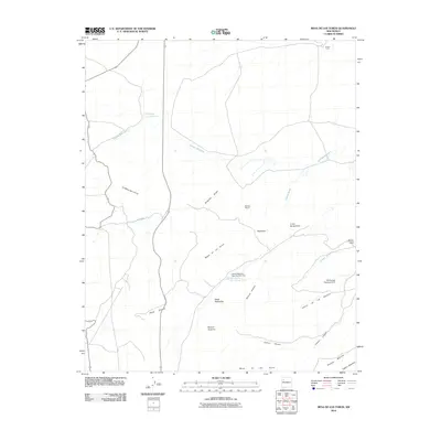
2010 Map of Mesa De Los Toros
USGS Topo · Published 2010About this map
Inditos Camp and Rancho Nuevo sit within a high plateau landscape defined by intricate drainage systems and dramatic geological formations. The topography is marked by a series of mesas and canyons, where the Cañada Marcelina and Cañada-Milpitas wind through the terrain toward the lower Milpitas Draw. Water management in this arid environment is evident through features such as the Chico Detention Dam Number Two and the Zia Storage Reservoir Dam, which serve the local ranching and settlement needs.
Find a feature on this map
27 named features on this map. Tap any name to fly to it.
Don’t see what you’re looking for? This feature index may not catch every label — zoom into the map to look around manually.
Map Details
Editions of this 2010 Mesa De Los Toros Map
This is the sole edition of this map. No revisions or reprints were ever made.
Other maps of this area

1883 · Mt. Taylor
USGS Topo · 1:250,000

1886 · Mt. Taylor
USGS Topo · 1:250,000

1892 · Mt. Taylor
USGS Topo · 1:250,000

1899 · Mt. Taylor
USGS Topo · 1:250,000

1957 · Ambrosia Lake
USGS Topo · 1:24,000

1957 · Goat Mountain
USGS Topo · 1:24,000

1958 · Albuquerque
USGS Topo · 1:250,000

1961 · Piedra De La Aguila
USGS Topo · 1:24,000

1961 · Hospah
USGS Topo · 1:24,000

1962 · Albuquerque
USGS Topo · 1:250,000