
1957 Map of Ambrosia Lake
USGS Topo · Published 1959About this map
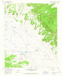
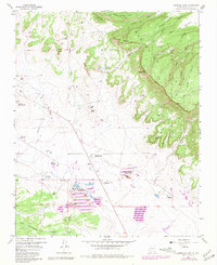
Industrial activity dominates this high-desert landscape in the late 1950s, centered on the uranium boom in McKinley County. The Phillips Petroleum Ambrosia Mill and the Kermac Nuclear Fuels Processing Plant serve as massive hubs for the numerous extraction operations nearby, including the Homestake-Sapin Mine No 25 and the Ann Lee Mine No 1. This concentration of nuclear-era infrastructure sits against a backdrop of traditional ranching and varied terrain, where the Berryhill Ranch remains a local landmark. The namesake Ambrosia Lake is situated near several worker housing developments, simply labeled as Trailer Park, reflecting the rapid influx of labor to the region. To the east, the San Mateo Mesas rise sharply into the Cibola National Forest, contrasting the heavy industrial engineering of the valley floor with the prominent escarpments of Mesa de las Vacas and Mesa de Ortega.
Find a feature on this map
53 named features on this map. Tap any name to fly to it.
Don’t see what you’re looking for? This feature index may not catch every label — zoom into the map to look around manually.
Map Details
Editions of this 1957 Ambrosia Lake Map
Other maps of this area

1883 · Mt. Taylor
USGS Topo · 1:250,000

1886 · Mt. Taylor
USGS Topo · 1:250,000

1892 · Mt. Taylor
USGS Topo · 1:250,000

1899 · Mt. Taylor
USGS Topo · 1:250,000

1957 · Dos Lomas
USGS Topo · 1:24,000

1957 · Bluewater
USGS Topo · 1:24,000

1957 · Goat Mountain
USGS Topo · 1:24,000

1958 · Albuquerque
USGS Topo · 1:250,000

1961 · Piedra De La Aguila
USGS Topo · 1:24,000

1962 · Albuquerque
USGS Topo · 1:250,000