
1957 Map of Bluewater
USGS Topo · Published 1959About this map
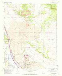
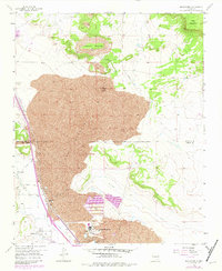
Anaconda Bluewater Mill stands as a focal point of industrial activity in this high-desert landscape during the late 1950s, located just south of the Atchison Topeka and Santa Fe railroad line. The map documents a complex infrastructure of pipelines, a conveyor, and a large Tailings Pond serving the milling operations. The settlement of Bluewater and its nearby Bluewater Siding are positioned along the fertile strip near Bluewater Creek, contrasted sharply by the surrounding geological formations. To the east and north, the terrain is dominated by The Malpais and extensive Lava flows, leading up to significant elevations like Haystack Mountain and Mesa Montañosa. A network of irrigation features, including the Main Ditch and Middle Ditch, reveals the community's reliance on water management for agriculture and industry in an arid environment.
Find a feature on this map
26 named features on this map. Tap any name to fly to it.
Don’t see what you’re looking for? This feature index may not catch every label — zoom into the map to look around manually.
Map Details
Editions of this 1957 Bluewater Map
3 editions found
Other maps of this area

1883 · Mt. Taylor
USGS Topo · 1:250,000

1886 · Wingate
USGS Topo · 1:250,000

1886 · Mt. Taylor
USGS Topo · 1:250,000

1892 · Wingate
USGS Topo · 1:250,000

1892 · Mt. Taylor
USGS Topo · 1:250,000

1899 · Mt. Taylor
USGS Topo · 1:250,000

1951 · Mt Sedgwick
USGS Topo · 1:24,000

1954 · Gallup
USGS Topo · 1:250,000

1957 · Ambrosia Lake
USGS Topo · 1:24,000

1957 · Dos Lomas
USGS Topo · 1:24,000