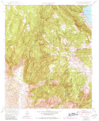
1948 Map of Mesa Grande
USGS Topo · Published 1982About this map
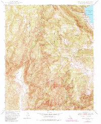
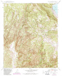
Cleveland National Forest and the Santa Ysabel Indian Reservation define much of this 1940s landscape, where rugged gem mining and ranching shaped the local economy. The area is notable for its concentration of mineral wealth, including the Himalaya Mine, Esmeralda Mine, and San Diego Mine north of Mesa Grande. Near the settlement, the Mesa Grande Sch served as a focal point for the community, while the Mesa Grande Indian Res and neighboring Guejito land grant territory stretch across the western hills. To the northeast, the Lake Henshaw reservoir, fed by the San Luis Rey River, provides a major water feature in an otherwise arid terrain dominated by Black Mtn and Pine Mtn. This era shows the dependence on back-country access via the Mesa Grande Truck Road and Santa Ysabel Truck Trail for both resource extraction and fire management.
Find a feature on this map
41 named features on this map. Tap any name to fly to it.
Don’t see what you’re looking for? This feature index may not catch every label — zoom into the map to look around manually.
Map Details
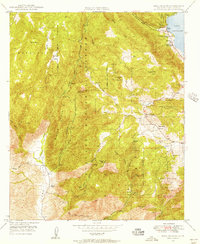
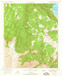
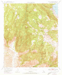
Editions of this 1948 Mesa Grande Map
6 editions found
Other maps of this area

1903 · Ramona
USGS Topo · 1:125,000

1904 · Southern California Sheet No. 2
USGS Topo · 1:250,000

1939 · Warner Springs
USGS Topo · 1:62,500

1939 · Santa Ysabel
USGS Topo · 1:62,500

1939 · Palomar Mountain
USGS Topo · 1:62,500

1942 · Ramona
USGS Topo · 1:62,500

1943 · Santa Ysabel
USGS Topo · 1:62,500

1943 · Warner Springs
USGS Topo · 1:62,500

1947 · Ramona
USGS Topo · 1:62,500

1947 · Santa Ana
USGS Topo · 1:250,000