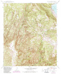
1948 Map of Mesa Grande
USGS Topo · Published 1988About this map
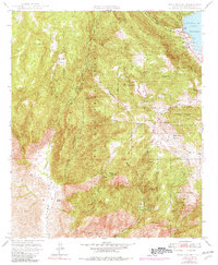
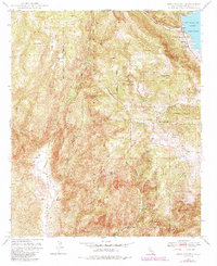
Lake Henshaw anchors the northeast corner of this San Diego County survey, where the San Luis Rey River feeds into the reservoir near Valle De San Jose. The landscape is defined by the high ridges of the Cleveland National Forest, including Black Mtn with its Black Mtn Lookout and the prominent Middle Ridge. Significant cultural markers include the Santa Ysabel Indian Reservation and the settlement of Mesa Grande, which is supported by the Mesa Grande Sch. Economic activity in these uplands is represented by the Himalaya Mine and Esmeralda Mine, while ranching history is evidenced by the Almond Ranch in Pamo Valley. A remote Landing Strip and rugged routes like the Mesa Grande Truck Trail illustrate the mid-century transportation network through this varied terrain of flats and canyons.
Find a feature on this map
40 named features on this map. Tap any name to fly to it.
Don’t see what you’re looking for? This feature index may not catch every label — zoom into the map to look around manually.
Map Details
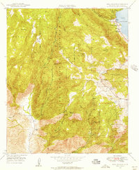
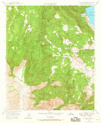
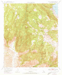
Editions of this 1948 Mesa Grande Map
6 editions found
Other maps of this area

1903 · Ramona
USGS Topo · 1:125,000

1904 · Southern California Sheet No. 2
USGS Topo · 1:250,000

1939 · Warner Springs
USGS Topo · 1:62,500

1939 · Santa Ysabel
USGS Topo · 1:62,500

1939 · Palomar Mountain
USGS Topo · 1:62,500

1942 · Ramona
USGS Topo · 1:62,500

1943 · Santa Ysabel
USGS Topo · 1:62,500

1943 · Warner Springs
USGS Topo · 1:62,500

1947 · Ramona
USGS Topo · 1:62,500

1947 · Santa Ana
USGS Topo · 1:250,000