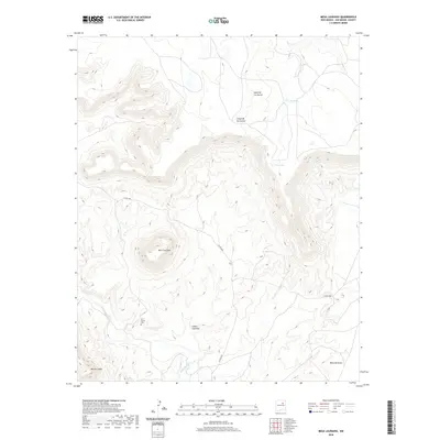
2020 Map of Mesa Lauriano
USGS Topo · Published 2020About this map
Mesa Lauriano rises as a prominent high point in this 2020 landscape, north of the Gallinas River in San Miguel County. The terrain is characterized by deep drainage systems and high mesas, including Mesa de los Carros and the southern Mesa Montosa. Near the river's path, the Los Torres Cem stands as a focal point for local history and genealogy, situated just off Co RD c48a. The map reveals a rugged western drainage through Cañon Lauriano and Cañon de las Cuevas, where seasonal water sources like Big Tank and Point Lake dot the higher elevations. This modern survey details the sparsely populated ranching and pastoral land as it remains today, defined more by its natural landmarks and named landforms like Mesas Cuatas than by dense settlement.
Find a feature on this map
13 named features on this map. Tap any name to fly to it.
Don’t see what you’re looking for? This feature index may not catch every label — zoom into the map to look around manually.
Map Details
Editions of this 2020 Mesa Lauriano Map
This is the sole edition of this map. No revisions or reprints were ever made.
Other maps of this area

1889 · Las Vegas
USGS Topo · 1:125,000

1890 · Bernal
USGS Topo · 1:125,000

1891 · Bernal
USGS Topo · 1:125,000

1891 · Las Vegas
USGS Topo · 1:125,000

1892 · Watrous
USGS Topo · 1:125,000

1892 · Corazon
USGS Topo · 1:125,000

1893 · Las Vegas
USGS Topo · 1:125,000

1894 · Corazon
USGS Topo · 1:125,000

1894 · Watrous
USGS Topo · 1:125,000

1894 · Bernal
USGS Topo · 1:125,000