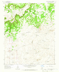
1963 Map of Mesa Palo Amarillo
USGS Topo · Published 1966About this map
Marquez Ranch and Vigil Tank sit within a high-desert landscape defined by the drainage systems of Cañon del Alegre and the massive elevations of La Mesa Del Medio. This mid-century survey of the Anton Chico grant reveals an intricate water-management network essential for cattle ranching in Guadalupe County. A series of stock tanks, such as Streetcar Tank and Laguna Quates, are linked by a rugged infrastructure of jeep trails and a prominent pipeline. Technological development in the early 1960s is evidenced by the Dahlia Pumping Station and several mechanical landmarks like the Secundino Windmill and New Windmill. The map also captures local industrial sites, including a Gravel Pit near Middle Tanks, showing how the land was utilized for both resource extraction and grazing during this era.
Find a feature on this map
33 named features on this map. Tap any name to fly to it.
Don’t see what you’re looking for? This feature index may not catch every label — zoom into the map to look around manually.
Map Details
Editions of this 1963 Mesa Palo Amarillo Map
This is the sole edition of this map. No revisions or reprints were ever made.
Other maps of this area

1890 · Bernal
USGS Topo · 1:125,000

1891 · Bernal
USGS Topo · 1:125,000

1894 · Bernal
USGS Topo · 1:125,000

1954 · Santa Fe
USGS Topo · 1:250,000

1954 · Fort Sumner
USGS Topo · 1:250,000

1958 · Fort Sumner
USGS Topo · 1:250,000

1958 · Santa Fe
USGS Topo · 1:250,000
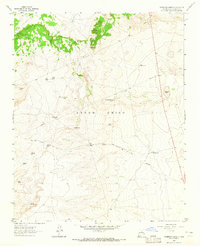
1963 · Thompson Ranch
USGS Topo · 1:24,000
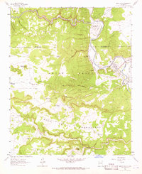
1963 · Anton Chico
USGS Topo · 1:24,000
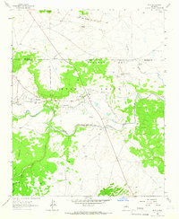
1963 · Dilia
USGS Topo · 1:24,000