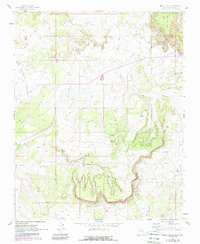
1961 Map of Mesa Portales
USGS Topo · Published 1989About this map
Santa Fe National Forest land defines the northeastern portion of this Sandoval County landscape, where the high terrain of Mesa de Cuba transitions into a complex system of drainages. The area is characterized by massive landforms like Mesa Portales and Fork Rock Mesa, which overlook the San Sidro Valley. These mesas are dissected by seasonal watercourses such as Arroyo Chijuillita and Arroyo Lucero.
Find a feature on this map
17 named features on this map. Tap any name to fly to it.
Don’t see what you’re looking for? This feature index may not catch every label — zoom into the map to look around manually.
Map Details
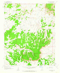
Editions of this 1961 Mesa Portales Map
2 editions found
Other maps of this area

1883 · Mt. Taylor
USGS Topo · 1:250,000

1886 · Mt. Taylor
USGS Topo · 1:250,000

1889 · Largo
USGS Topo · 1:250,000

1890 · Jemes
USGS Topo · 1:125,000

1892 · Jemes
USGS Topo · 1:125,000

1892 · Mt. Taylor
USGS Topo · 1:250,000

1895 · Largo
USGS Topo · 1:250,000

1899 · Mt. Taylor
USGS Topo · 1:250,000

1909 · Gallina
USGS Topo · 1:125,000

1939 · La Ventana
USGS Topo · 1:62,500