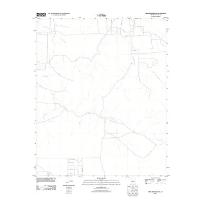
2011 Map of Mesa Redonda NW
USGS Topo · Published 2011About this map
Concho Flat Wash and the drainage of Millet Swale dominate this high-desert landscape in northern Arizona, reflecting the seasonal water patterns that define the region. The map captures a transition between traditional ranching corridors and modern residential development, most evident in the structured street grids appearing near Lassen St and Kaibab Ln at the southern edge. This 2011 survey reveals an expanding network of named roads, including Big Iron Ranch Rd and Coronado Rd, which contrast with older agricultural infrastructure like The Canal. In the southwest corner, the presence of Mexican Lake provides a rare perennial water feature in this arid Navajo County territory. The blend of Indigenous-inspired street names such as Zuni Blvd, Yaqui Rd, and Aztec Rd suggests the cultural layers being woven into the contemporary subdivision of these traditional lands.
Find a feature on this map
29 named features on this map. Tap any name to fly to it.
Don’t see what you’re looking for? This feature index may not catch every label — zoom into the map to look around manually.
Map Details
Editions of this 2011 Mesa Redonda NW Map
This is the sole edition of this map. No revisions or reprints were ever made.
Other maps of this area

1886 · St Johns
USGS Topo · 1:250,000

1886 · Holbrook
USGS Topo · 1:250,000

1892 · St Johns
USGS Topo · 1:250,000

1893 · Holbrook
USGS Topo · 1:250,000

1954 · Holbrook
USGS Topo · 1:250,000

1954 · Saint Johns
USGS Topo · 1:250,000

1955 · Adamana 3 SE
USGS Topo · 1:24,000

1957 · Holbrook
USGS Topo · 1:250,000

1957 · Saint Johns
USGS Topo · 1:250,000

1958 · Saint Johns
USGS Topo · 1:250,000