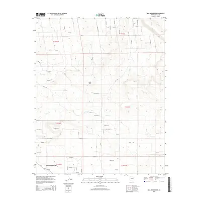
2014 Map of Mesa Redonda NW
USGS Topo · Published 2014About this map
White Mountain Lake sits at the southern edge of this Navajo County landscape, where the high desert terrain is defined by a network of drainage systems and expanding rural road networks. The topography is marked by significant natural depressions and watercourses, including the wide Concho Flat Wash in the northwest and the prominent Hatch Draw near the center. Substantial drainage basins like Millet Swale and Miller Swale carve through the landscape, illustrating the hydraulic character of this arid region.
Find a feature on this map
72 named features on this map. Tap any name to fly to it.
Don’t see what you’re looking for? This feature index may not catch every label — zoom into the map to look around manually.
Map Details
Editions of this 2014 Mesa Redonda NW Map
This is the sole edition of this map. No revisions or reprints were ever made.
Other maps of this area

1886 · St Johns
USGS Topo · 1:250,000

1886 · Holbrook
USGS Topo · 1:250,000

1892 · St Johns
USGS Topo · 1:250,000

1893 · Holbrook
USGS Topo · 1:250,000

1954 · Holbrook
USGS Topo · 1:250,000

1954 · Saint Johns
USGS Topo · 1:250,000

1955 · Adamana 3 SE
USGS Topo · 1:24,000

1957 · Holbrook
USGS Topo · 1:250,000

1957 · Saint Johns
USGS Topo · 1:250,000

1958 · Saint Johns
USGS Topo · 1:250,000