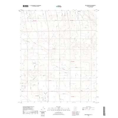
2018 Map of Mesa Redonda NW
USGS Topo · Published 2018About this map
Concho Flat Wash and Hay Hollow Draw cut across this high plateau landscape of Navajo County, defining a region where water management and ranch access dictate the layout of the land. The presence of The Canal in the northwest corner highlights the importance of irrigation and water control in this arid environment. The map reveals a transition from natural drainage systems like Hatch Draw and Millet Swale to a growing network of residential and rural access roads.
Find a feature on this map
72 named features on this map. Tap any name to fly to it.
Don’t see what you’re looking for? This feature index may not catch every label — zoom into the map to look around manually.
Map Details
Editions of this 2018 Mesa Redonda NW Map
This is the sole edition of this map. No revisions or reprints were ever made.
Other maps of this area

1886 · St Johns
USGS Topo · 1:250,000

1886 · Holbrook
USGS Topo · 1:250,000

1892 · St Johns
USGS Topo · 1:250,000

1893 · Holbrook
USGS Topo · 1:250,000

1954 · Holbrook
USGS Topo · 1:250,000

1954 · Saint Johns
USGS Topo · 1:250,000

1955 · Adamana 3 SE
USGS Topo · 1:24,000

1957 · Holbrook
USGS Topo · 1:250,000

1957 · Saint Johns
USGS Topo · 1:250,000

1958 · Saint Johns
USGS Topo · 1:250,000