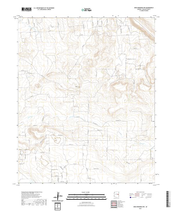
2021 Map of Mesa Redonda NW
USGS Topo · Published 2021About this map
El Dorado and Phillips anchor this portion of Navajo County, reflecting the residential expansion and rural layout of the early twenty-first century. The landscape is defined by an extensive network of local roads and lanes with whimsical and cultural names, such as Rubber Duck Ln, Bittersweet Ln, and Zuni Blvd. The natural drainage patterns of Concho Flat Wash and the meandering Millet Swale dominate the topography, illustrating the dry-wash hydrology typical of the Arizona high desert. Water management is evident through features like The Canal and Hatch Draw, which suggest a concerted effort to direct seasonal runoff through this grid-like residential area. The presence of Retirement Rd and numerous named local connectors hints at the community's character as a planned rural-residential development within the larger township and range system.
Find a feature on this map
69 named features on this map. Tap any name to fly to it.
Don’t see what you’re looking for? This feature index may not catch every label — zoom into the map to look around manually.
Map Details
Editions of this 2021 Mesa Redonda NW Map
This is the sole edition of this map. No revisions or reprints were ever made.
Other maps of this area

1886 · St Johns
USGS Topo · 1:250,000

1886 · Holbrook
USGS Topo · 1:250,000

1892 · St Johns
USGS Topo · 1:250,000

1893 · Holbrook
USGS Topo · 1:250,000

1954 · Holbrook
USGS Topo · 1:250,000

1954 · Saint Johns
USGS Topo · 1:250,000

1955 · Adamana 3 SE
USGS Topo · 1:24,000

1957 · Holbrook
USGS Topo · 1:250,000

1957 · Saint Johns
USGS Topo · 1:250,000

1958 · Saint Johns
USGS Topo · 1:250,000