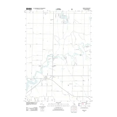
2012 Map of Mesick
USGS Topo · Published 2012About this map
The Manistee River winds through this portion of Wexford County, defining the local geography around the settlements of Sherman and Glengary. This 2012 survey documents a landscape where recreational landmarks like the Indian Crossing Campground and the Dennis Family Campground sit alongside legacy rural infrastructure. To the north, Lake Gitchegumee and numerous creeks such as Wheeler Cr and Anderson Cr feed into the river system, while the southwest is dominated by the Hodenpyl Dam Pond. For those tracing family histories in the area, the map preserves the locations of vital community anchors including the Cornell School, Cornell Cem, and the Antioch Township Cem. The road network follows a strict grid, punctuated by distinctive terrain features like the Briar Hill ski jump area.
Find a feature on this map
82 named features on this map. Tap any name to fly to it.
Don’t see what you’re looking for? This feature index may not catch every label — zoom into the map to look around manually.
Map Details
Editions of this 2012 Mesick Map
This is the sole edition of this map. No revisions or reprints were ever made.
Other maps of this area

1954 · Traverse City
USGS Topo · 1:250,000

1956 · Kingsley
USGS Topo · 1:62,500

1956 · Mesick
USGS Topo · 1:62,500

1956 · Thompsonville
USGS Topo · 1:62,500

1957 · Copemish
USGS Topo · 1:62,500

1958 · Traverse City
USGS Topo · 1:250,000

1976 · Thompsonville SE
USGS Topo · 1:24,000

1983 · Cadillac
USGS Topo · 1:100,000

1983 · Buckley
USGS Topo · 1:25,000

1983 · Traverse City
USGS Topo · 1:100,000