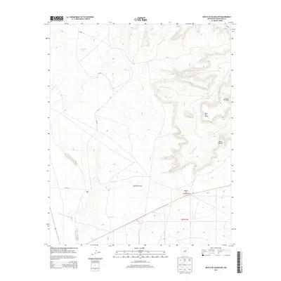
2013 Map of Mesita De Guadalupe
USGS Topo · Published 2013About this map
Mesita de Guadalupe rises above a landscape defined by significant erosional features and seasonal water drainages in this modern topographic study of eastern New Mexico. The terrain is marked by prominent mesas, including Mesa del Medio and Mesita Cortada, which overlook a network of deep-cut draws and canyons. The presence of Guadalupe Draw and the branching drainages of Cañada de Abajo and Cañada de Arriba illustrate the complex watershed management required in this arid environment.
Find a feature on this map
13 named features on this map. Tap any name to fly to it.
Don’t see what you’re looking for? This feature index may not catch every label — zoom into the map to look around manually.
Map Details
Editions of this 2013 Mesita De Guadalupe Map
This is the sole edition of this map. No revisions or reprints were ever made.
Other maps of this area

1890 · Bernal
USGS Topo · 1:125,000

1891 · Bernal
USGS Topo · 1:125,000

1892 · Corazon
USGS Topo · 1:125,000

1894 · Corazon
USGS Topo · 1:125,000

1894 · Bernal
USGS Topo · 1:125,000

1954 · Santa Fe
USGS Topo · 1:250,000

1954 · Fort Sumner
USGS Topo · 1:250,000

1958 · Fort Sumner
USGS Topo · 1:250,000

1958 · Santa Fe
USGS Topo · 1:250,000

1963 · Colonias
USGS Topo · 1:24,000