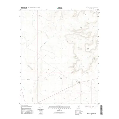
2017 Map of Mesita De Guadalupe
USGS Topo · Published 2017About this map
Mesita de Guadalupe and the surrounding high desert mesas define this section of Guadalupe County. The landscape is characterized by a series of prominent topographic rises, including Mesa del Medio and Mesita Cortada, which separate the various drainage basins. Strategic water sources are critical in this arid environment, marked on the map by Telephone Tank and Frog Tank. These catchments, along with named washes like Guadalupe Draw and Cañada de Abajo, dictate the placement of ranch infrastructure. A network of rural routes, such as Antelope Rd and Moon Ranch Rd, provides access across the township of t9n r19e, reflecting the region's enduring ranching heritage and land use patterns.
Find a feature on this map
17 named features on this map. Tap any name to fly to it.
Don’t see what you’re looking for? This feature index may not catch every label — zoom into the map to look around manually.
Map Details
Editions of this 2017 Mesita De Guadalupe Map
This is the sole edition of this map. No revisions or reprints were ever made.
Other maps of this area

1890 · Bernal
USGS Topo · 1:125,000

1891 · Bernal
USGS Topo · 1:125,000

1892 · Corazon
USGS Topo · 1:125,000

1894 · Corazon
USGS Topo · 1:125,000

1894 · Bernal
USGS Topo · 1:125,000

1954 · Santa Fe
USGS Topo · 1:250,000

1954 · Fort Sumner
USGS Topo · 1:250,000

1958 · Fort Sumner
USGS Topo · 1:250,000

1958 · Santa Fe
USGS Topo · 1:250,000

1963 · Colonias
USGS Topo · 1:24,000