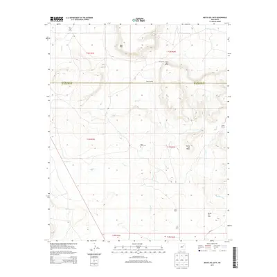
2013 Map of Mesita Del Gato
USGS Topo · Published 2013About this map
Monte Calvario Cem sits at the heart of this high-plains landscape, marking a point of cultural history in a region defined by extensive ranching and distinct mesa formations. The drainage network of Cuervo Cr, Cherisco Cr, and Garita Cr carves through the terrain, illustrating the water sources vital for the scattered cattle operations and early settlements. Ranching legacies are preserved in the locations of the Hage Ranch to the north and the Benton Ranch and Yates Ranch toward the south.
Find a feature on this map
25 named features on this map. Tap any name to fly to it.
Don’t see what you’re looking for? This feature index may not catch every label — zoom into the map to look around manually.
Map Details
Editions of this 2013 Mesita Del Gato Map
This is the sole edition of this map. No revisions or reprints were ever made.
Other maps of this area

1892 · Corazon
USGS Topo · 1:125,000

1894 · Corazon
USGS Topo · 1:125,000

1954 · Santa Fe
USGS Topo · 1:250,000

1958 · Santa Fe
USGS Topo · 1:250,000

1963 · Mesa Cherisco
USGS Topo · 1:24,000

1963 · Sacaton Draw
USGS Topo · 1:24,000

1963 · Mesita Del Gato
USGS Topo · 1:24,000

1963 · Cuervo
USGS Topo · 1:24,000

1964 · Neafus Ranch
USGS Topo · 1:24,000

1964 · Newkirk
USGS Topo · 1:24,000