
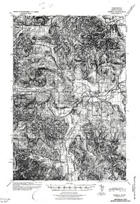
1941 Map of Meskill
USGS Topo · Published 1941About this map
Schafer Bros Logging Camp No 10 and Camp McDonald anchor the timber and agricultural landscape of Lewis County during the early 1940s. The region is defined by the convergence of the Chehalis River and the South Fork Chehalis River, which carved the valleys that carry the area's vital transportation corridors. The Chicago Milwaukee St Paul and Pacific and Northern Pacific railroads parallel the water, connecting small settlements like Meskill, Adna, and Boistfort. This survey reflects an era of transition where early pioneering schools like Forest View Sch and Pleasant Grove Sch still served the rural population, while the Ocean Beach Highway signaled the growing importance of automotive transit. The presence of the Claquato Cem and the Rainbow Falls State Park provides important cultural and recreational landmarks for local history researchers.
Find a feature on this map
55 named features on this map. Tap any name to fly to it.
Don’t see what you’re looking for? This feature index may not catch every label — zoom into the map to look around manually.
Map Details
Editions of this 1941 Meskill Map
2 editions found
Other maps of this area

1916 · Chehalis
USGS Topo · 1:125,000

1940 · Tenino
USGS Topo · 1:62,500

1941 · Walville
USGS Topo · 1:62,500

1941 · Olequa
USGS Topo · 1:62,500

1941 · Gate
USGS Topo · 1:62,500

1941 · Skamokawa
USGS Topo · 1:62,500

1941 · Ford
USGS Topo · 1:62,500

1944 · Tenino
USGS Topo · 1:62,500

1949 · Tenino
USGS Topo · 1:62,500

1953 · Hoquiam
USGS Topo · 1:250,000