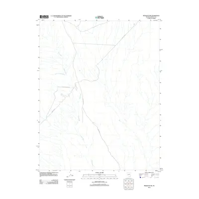
2012 Map of Mesquite NW
USGS Topo · Published 2012About this map
Toquop Wash and its drainage network define this arid landscape in Lincoln County. This 2012 survey shows a terrain shaped by water and utility access, where the South Fork Toquop Wash joins the main channel amidst a grid of section lines. The presence of Phone Cable Rd and the Phone Cable Access Rd indicates the importance of telecommunications infrastructure in this remote part of Nevada. While settlements are absent, the mapping of Lower Toquop Rd provides a clear view of the primary travel corridors used for land management and technical maintenance during the early 21st century.
Find a feature on this map
5 named features on this map. Tap any name to fly to it.
Don’t see what you’re looking for? This feature index may not catch every label — zoom into the map to look around manually.
Map Details
Editions of this 2012 Mesquite NW Map
This is the sole edition of this map. No revisions or reprints were ever made.
Other maps of this area

1885 · Pioche
USGS Topo · 1:250,000

1886 · Saint Thomas
USGS Topo · 1:250,000

1886 · Pioche
USGS Topo · 1:250,000

1893 · Saint Thomas
USGS Topo · 1:250,000

1954 · Caliente
USGS Topo · 1:250,000

1954 · Las Vegas
USGS Topo · 1:250,000

1957 · Las Vegas
USGS Topo · 1:250,000

1957 · Mesquite
USGS Topo · 1:62,500

1959 · Caliente
USGS Topo · 1:250,000

1959 · Las Vegas
USGS Topo · 1:250,000