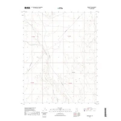
2018 Map of Mesquite NW
USGS Topo · Published 2018About this map
The Mojave Desert terrain dominates this 2018 survey of Lincoln County, where the landscape is defined by the drainage patterns of the Toquop Wash system. This arid region shows a distinct network of utility and service corridors, notably the long stretch of Phone Cable Rd and its accompanying Phone Cable Access Rd. These routes cut across the township and range lines, providing essential infrastructure through the open desert.
Find a feature on this map
11 named features on this map. Tap any name to fly to it.
Don’t see what you’re looking for? This feature index may not catch every label — zoom into the map to look around manually.
Map Details
Editions of this 2018 Mesquite NW Map
This is the sole edition of this map. No revisions or reprints were ever made.
Other maps of this area

1885 · Pioche
USGS Topo · 1:250,000

1886 · Saint Thomas
USGS Topo · 1:250,000

1886 · Pioche
USGS Topo · 1:250,000

1893 · Saint Thomas
USGS Topo · 1:250,000

1954 · Caliente
USGS Topo · 1:250,000

1954 · Las Vegas
USGS Topo · 1:250,000

1957 · Las Vegas
USGS Topo · 1:250,000

1957 · Mesquite
USGS Topo · 1:62,500

1959 · Caliente
USGS Topo · 1:250,000

1959 · Las Vegas
USGS Topo · 1:250,000