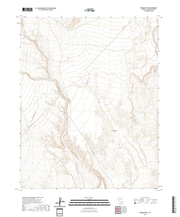
2021 Map of Mesquite NW
USGS Topo · Published 2021About this map
Toquop Wash snakes through this arid section of the Mojave Desert in Lincoln County, defining the primary drainage pattern of the landscape. The terrain is largely unpopulated, marked instead by the infrastructure of utility corridors and desert access routes. The presence of Phone Cable Rd and Lower Toquop Rd suggests a landscape managed for technical maintenance and regional connectivity rather than settlement. Water distribution is seasonal and episodic, as shown by the braided channels of the S Fork Toquop Wash. These geographic features highlight the extreme environment of southeastern Nevada, where land use is dictated by the availability of passage through the dry wash systems and along established service roads.
Find a feature on this map
9 named features on this map. Tap any name to fly to it.
Don’t see what you’re looking for? This feature index may not catch every label — zoom into the map to look around manually.
Map Details
Editions of this 2021 Mesquite NW Map
This is the sole edition of this map. No revisions or reprints were ever made.
Other maps of this area

1885 · Pioche
USGS Topo · 1:250,000

1886 · Saint Thomas
USGS Topo · 1:250,000

1886 · Pioche
USGS Topo · 1:250,000

1893 · Saint Thomas
USGS Topo · 1:250,000

1954 · Caliente
USGS Topo · 1:250,000

1954 · Las Vegas
USGS Topo · 1:250,000

1957 · Las Vegas
USGS Topo · 1:250,000

1957 · Mesquite
USGS Topo · 1:62,500

1959 · Caliente
USGS Topo · 1:250,000

1959 · Las Vegas
USGS Topo · 1:250,000