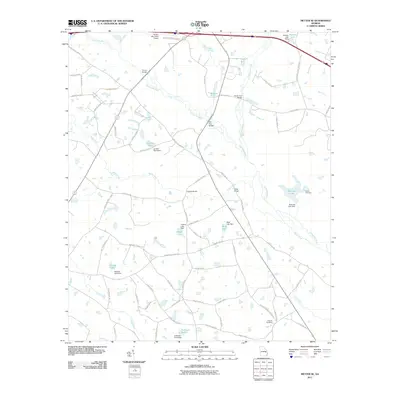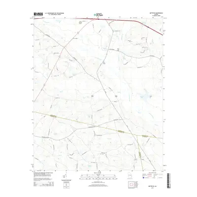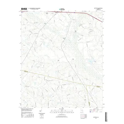
2024 Map of Metter SE
USGS Topo · Published 2024About this map
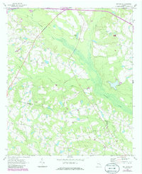
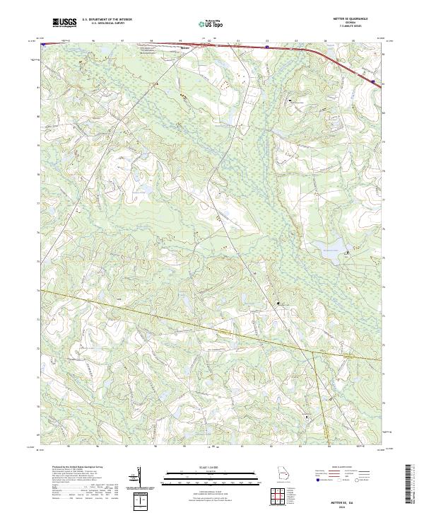
The Canoochee River winds through this landscape southeast of Metter, marking a terrain defined by its slow-moving waterways and dense network of rural roads. This area showcases a distinct pattern of family-named landmarks and water bodies, such as Laniers Pond, Glisson Lake, and Callaway Pond, reflecting a history of private landownership and agricultural development. The map reveals the intricate meeting point of three Georgia counties—Candler, Evans, and Tattnall—where local travel relies on routes like Canoochee Rd and Hwy 121.
Find a feature on this map
108 named features on this map. Tap any name to fly to it.
Don’t see what you’re looking for? This feature index may not catch every label — zoom into the map to look around manually.
Map Details
Editions of this 2024 Metter SE Map
This is the sole edition of this map. No revisions or reprints were ever made.
Historical Maps of Metter Through Time
6 maps found