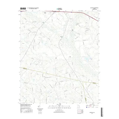
2017 Map of Metter SE
USGS Topo · Published 2017About this map
The Canoochee River and Fifteenmile Cr define this landscape south of Metter, winding through a complex network of wetlands and tributaries at the intersection of Candler, Tattnall, and Evans counties. This 2017 study illustrates the rural infrastructure of the Georgia coastal plain, where numerous crossings such as Turner Bridge, Flat Ford Bridge, and Green Bridge link isolated homesteads and agricultural tracts.
Find a feature on this map
102 named features on this map. Tap any name to fly to it.
Don’t see what you’re looking for? This feature index may not catch every label — zoom into the map to look around manually.
Map Details
Editions of this 2017 Metter SE Map
This is the sole edition of this map. No revisions or reprints were ever made.
Other maps of this area

1919 · Claxton
USGS Topo · 1:62,500

1920 · Statesboro
USGS Topo · 1:62,500

1943 · Statesboro
USGS Topo · 1:62,500

1944 · Claxton
USGS Topo · 1:62,500

1947 · Savannah
USGS Topo · 1:250,000

1948 · Savannah
USGS Topo · 1:250,000

1950 · Claxton
USGS Topo · 1:62,500

1957 · Macon
USGS Topo · 1:250,000

1957 · Savannah
USGS Topo · 1:250,000

1958 · Macon
USGS Topo · 1:250,000