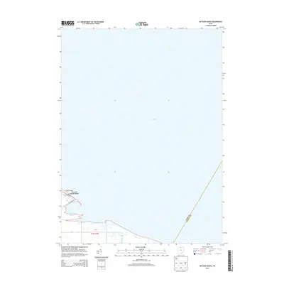
2013 Map of Metzger Marsh
USGS Topo · Published 2013About this map
Lake Erie defines the northern expanse of this coastal landscape, where the waters meet the wetland ecosystems of the Ohio shoreline. The primary human footprint is concentrated at Howard Farms Beach, a residential cluster characterized by a grid of local roads including Lafontaine Dr and Lagoon Dr. This area illustrates the specialized development patterns of the western Lake Erie basin, where small beach communities are often integrated with the surrounding marshes. To the south and east, the natural hydrology is dominated by the sprawling Metzger Marsh and the winding course of Crane Creek. The map also delineates the administrative boundary where Lucas Co and Ottawa Co meet, cutting through the marshland. This 2013 survey provides a clear view of the modern conservation and residential boundary lines in a dynamic lacustrine environment.
Find a feature on this map
15 named features on this map. Tap any name to fly to it.
Don’t see what you’re looking for? This feature index may not catch every label — zoom into the map to look around manually.
Map Details
Editions of this 2013 Metzger Marsh Map
This is the sole edition of this map. No revisions or reprints were ever made.
Other maps of this area

1900 · Maumee Bay
USGS Topo · 1:62,500

1900 · Oak Harbor
USGS Topo · 1:62,500

1912 · Monroe
USGS Topo · 1:62,500

1914 · Monroe
USGS Topo · 1:62,500

1934 · Reno Beach
USGS Topo · 1:24,000

1935 · Genoa
USGS Topo · 1:24,000
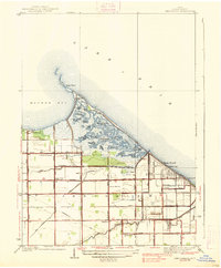
1938 · Reno Beach
USGS Topo · 1:31,680
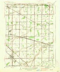
1938 · Genoa
USGS Topo · 1:31,680
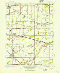
1952 · Genoa
USGS Topo · 1:24,000

1952 · Oak Harbor
USGS Topo · 1:24,000