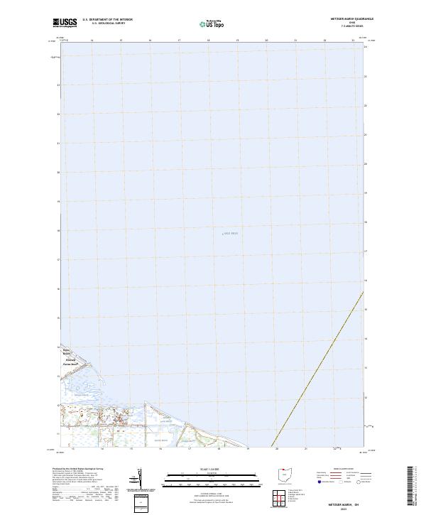
2023 Map of Metzger Marsh
USGS Topo · Published 2023About this map
Lake Erie defines the northern reaches of this coastal landscape, where a series of protected wetlands dominate the shoreline in Lucas County. The map details a complex hydrologic environment where Crane Creek flows through a network of named marshes, including Willow Point Marsh, Pintail Marsh, and Searles Marsh. These areas reflect the long-term conservation efforts typical of the western basin, providing a buffer between the open lake and the interior agricultural lands.
Find a feature on this map
13 named features on this map. Tap any name to fly to it.
Don’t see what you’re looking for? This feature index may not catch every label — zoom into the map to look around manually.
Map Details
Editions of this 2023 Metzger Marsh Map
This is the sole edition of this map. No revisions or reprints were ever made.
Other maps of this area

1900 · Maumee Bay
USGS Topo · 1:62,500

1900 · Oak Harbor
USGS Topo · 1:62,500

1912 · Monroe
USGS Topo · 1:62,500

1914 · Monroe
USGS Topo · 1:62,500

1934 · Reno Beach
USGS Topo · 1:24,000

1935 · Genoa
USGS Topo · 1:24,000
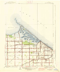
1938 · Reno Beach
USGS Topo · 1:31,680
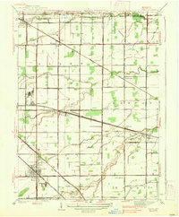
1938 · Genoa
USGS Topo · 1:31,680
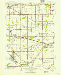
1952 · Genoa
USGS Topo · 1:24,000

1952 · Oak Harbor
USGS Topo · 1:24,000