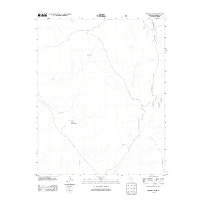
2012 Map of Metzger Tank
USGS Topo · Published 2012About this map
Coconino Wash meanders across this high-desert landscape in northern Arizona, serving as the primary drainage through a territory defined by its network of water collection points. These named water features, essential for local land use and livestock in a semi-arid environment, include the namesake Metzger Tank and family-named landmarks like Little Sam Moore Tank and Little Tom Moore Tank. In the southwestern portion of the quadrangle, the presence of the South Grand Canyon Sanitation District near Banks Tank indicates modern infrastructure management within this otherwise sparse terrain. Access is provided primarily through forest roads, notably FS RD 2612, which skirts the eastern edge near Curry Tank and Bailey Tank. The map records a functional landscape where water management and resource coordination are the primary drivers of human presence.
Find a feature on this map
20 named features on this map. Tap any name to fly to it.
Don’t see what you’re looking for? This feature index may not catch every label — zoom into the map to look around manually.
Map Details
Editions of this 2012 Metzger Tank Map
This is the sole edition of this map. No revisions or reprints were ever made.
Other maps of this area

1886 · Chino
USGS Topo · 1:250,000

1886 · Kaibab
USGS Topo · 1:250,000

1891 · Chino
USGS Topo · 1:250,000

1903 · Bright Angel
USGS Topo · 1:48,000

1906 · Bright Angel
USGS Topo · 1:48,000

1948 · Williams
USGS Topo · 1:250,000

1953 · Grand Canyon
USGS Topo · 1:250,000

1954 · Williams
USGS Topo · 1:250,000

1956 · Williams
USGS Topo · 1:250,000

1957 · Grand Canyon
USGS Topo · 1:250,000