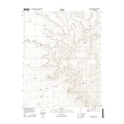
2014 Map of Mexican Cry Mesa
USGS Topo · Published 2014About this map
Mexican Cry Mesa and the surrounding high-elevation terrain dominate this 2014 survey of the Navajo Nation. The landscape is defined by stark vertical relief, where flat-topped landmarks like Rescue Rock Mesa and White Mesa are separated by deep drainages such as Tzelena Canyon and Female Canyon. The southern portion of the map transitions into the higher reaches of the Chuska Mountains and the Lukachukai Mountains, featuring prominent summits like White Ash Peak. The naming conventions throughout the quadrangle, including features such as Female Rock and Massacre Point, suggest a landscape deeply tied to cultural history and local geography. Water is a scarce but critical resource here, marked by isolated points like Deswood Spring, White Hair Spring, and Cow Spring, which provide life to the arid basins below the mesas.
Find a feature on this map
36 named features on this map. Tap any name to fly to it.
Don’t see what you’re looking for? This feature index may not catch every label — zoom into the map to look around manually.
Map Details
Editions of this 2014 Mexican Cry Mesa Map
This is the sole edition of this map. No revisions or reprints were ever made.
Other maps of this area

1892 · Canyon De Chelly
USGS Topo · 1:250,000

1953 · Los Gigantes NE
USGS Topo · 1:24,000

1953 · Los Gigantes NW
USGS Topo · 1:24,000

1953 · Redrock Valley SW
USGS Topo · 1:24,000

1953 · Los Gigantes SE
USGS Topo · 1:24,000

1953 · Los Gigantes SW
USGS Topo · 1:24,000

1953 · Redrock Valley NW
USGS Topo · 1:24,000

1953 · Los Gigantes Buttes
USGS Topo · 1:62,500

1953 · Redrock Valley
USGS Topo · 1:62,500

1954 · Shiprock
USGS Topo · 1:250,000