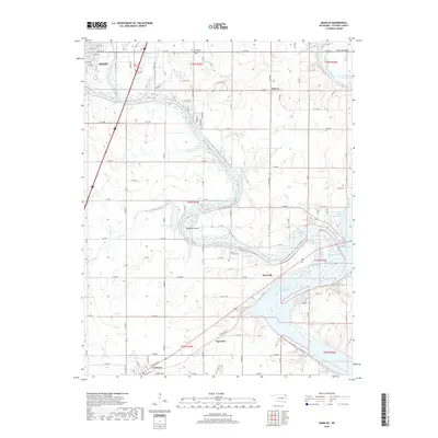
2018 Map of Miami SE
USGS Topo · Published 2018About this map
The confluence of the Neosho River and the Spring River creates a dynamic hydrologic landscape southeast of Miami, where the waters begin to form the northern reaches of Grand Lake O' the Cherokees. This riverine environment is defined by dramatic meanders such as Mudeater Bend and Moccasin Bend, which historically influenced the development and boundaries of the surrounding countryside.
Find a feature on this map
77 named features on this map. Tap any name to fly to it.
Don’t see what you’re looking for? This feature index may not catch every label — zoom into the map to look around manually.
Map Details
Editions of this 2018 Miami SE Map
This is the sole edition of this map. No revisions or reprints were ever made.
Other maps of this area

1907 · Wyandotte
USGS Topo · 1:125,000

1909 · Wyandotte
USGS Topo · 1:125,000

1954 · Tulsa
USGS Topo · 1:250,000

1958 · Tulsa
USGS Topo · 1:250,000
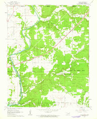
1960 · Peoria
USGS Topo · 1:24,000

1961 · Miami SE
USGS Topo · 1:24,000
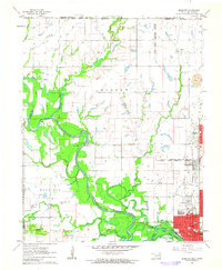
1961 · Miami NW
USGS Topo · 1:24,000

1961 · Wyandotte
USGS Topo · 1:24,000

1961 · Miami SW
USGS Topo · 1:24,000
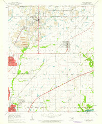
1961 · Picher
USGS Topo · 1:24,000