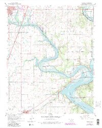
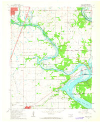
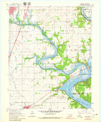
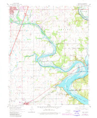
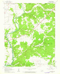
1961 Map of Miami SE
USGS Topo · Published 1962About this map
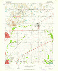
Lake of the Cherokees dominates the landscape where the Spring River and Neosho converge, a region defined by historical tribal lands. This survey highlights the intersecting lines of the Ottawa Indian Reservation Boundary and Wyandotte Indian Reservation Boundary, reflecting the complex administrative heritage of northeastern Oklahoma. Settlements like Fairland and Ottawa anchor the transport network, which includes the Will Rogers Turnpike and the Burlington Northern railroad.
Find a feature on this map
36 named features on this map. Tap any name to fly to it.
Don’t see what you’re looking for? This feature index may not catch every label — zoom into the map to look around manually.
Map Details
Editions of this 1961 Miami SE Map
4 editions found
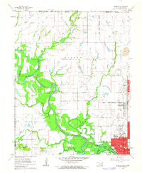
Other maps of this area

1907 · Wyandotte
USGS Topo · 1:125,000

1909 · Wyandotte
USGS Topo · 1:125,000

1954 · Tulsa
USGS Topo · 1:250,000

1958 · Tulsa
USGS Topo · 1:250,000
1960 · Peoria
USGS Topo · 1:24,000
1961 · Miami NW
USGS Topo · 1:24,000
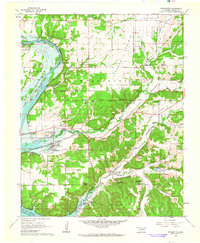
1961 · Wyandotte
USGS Topo · 1:24,000
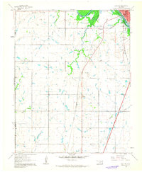
1961 · Miami SW
USGS Topo · 1:24,000
1961 · Picher
USGS Topo · 1:24,000

1963 · Tulsa
USGS Topo · 1:250,000