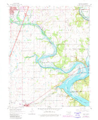
1961 Map of Miami SE
USGS Topo · Published 1982About this map
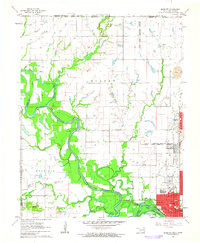
The Neosho River Lake the Cherokees dominates the landscape southeast of Miami, where its meandering course defines the intersections of tribal heritage and mid-century recreation. The map meticulously records the overlapping territories of the Ottawa Indian Reservation Boundary and Wyandotte Indian Reservation Boundary, illustrating how these historical land divisions persisted into the modern era. Landmarks such as the Ottawa Indian Ch and Bland Cem offer significant points of interest for genealogists tracing local families near the river's edge.
Find a feature on this map
40 named features on this map. Tap any name to fly to it.
Don’t see what you’re looking for? This feature index may not catch every label — zoom into the map to look around manually.
Map Details
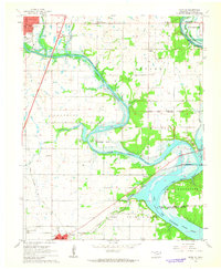
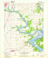
Editions of this 1961 Miami SE Map
4 editions found
Other maps of this area

1907 · Wyandotte
USGS Topo · 1:125,000

1909 · Wyandotte
USGS Topo · 1:125,000

1954 · Tulsa
USGS Topo · 1:250,000

1958 · Tulsa
USGS Topo · 1:250,000
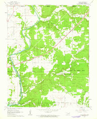
1960 · Peoria
USGS Topo · 1:24,000

1961 · Miami SE
USGS Topo · 1:24,000
1961 · Miami NW
USGS Topo · 1:24,000

1961 · Wyandotte
USGS Topo · 1:24,000

1961 · Miami SW
USGS Topo · 1:24,000
1961 · Picher
USGS Topo · 1:24,000