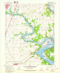
1961 Map of Miami SE
USGS Topo · Published 1979About this map
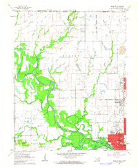
Lake O' the Cherokees dominates this landscape where the Neosho River and Spring River converge, a topography shaped by both water and historical boundaries. The map clearly delineates the intersecting limits of the Ottawa Indian Reservation, the Wyandotte Indian Reservation, and the Cherokees Indian Reservation, reflecting the complex tribal history of this portion of Ottawa County.
Find a feature on this map
36 named features on this map. Tap any name to fly to it.
Don’t see what you’re looking for? This feature index may not catch every label — zoom into the map to look around manually.
Map Details
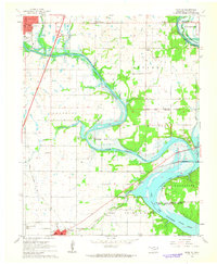
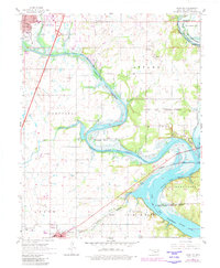
Editions of this 1961 Miami SE Map
4 editions found
Other maps of this area

1907 · Wyandotte
USGS Topo · 1:125,000

1909 · Wyandotte
USGS Topo · 1:125,000

1954 · Tulsa
USGS Topo · 1:250,000

1958 · Tulsa
USGS Topo · 1:250,000
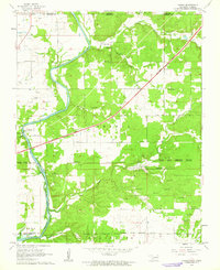
1960 · Peoria
USGS Topo · 1:24,000

1961 · Miami SE
USGS Topo · 1:24,000
1961 · Miami NW
USGS Topo · 1:24,000

1961 · Wyandotte
USGS Topo · 1:24,000

1961 · Miami SW
USGS Topo · 1:24,000
1961 · Picher
USGS Topo · 1:24,000