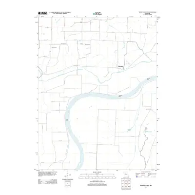
2012 Map of Miami Station
USGS Topo · Published 2012About this map
The Missouri River carves a winding path through this portion of Carroll County, defining the landscape with significant meanders such as Prunty Bend, Teteseau Bend, and Thomas Bend. This 2012 survey illustrates a predominantly agricultural region where water management is critical, evidenced by the presence of Van Meter Ditch, Van Meter Dam, and the expansive Teteseau Lake south of the river.
Find a feature on this map
46 named features on this map. Tap any name to fly to it.
Don’t see what you’re looking for? This feature index may not catch every label — zoom into the map to look around manually.
Map Details
Editions of this 2012 Miami Station Map
This is the sole edition of this map. No revisions or reprints were ever made.
Other maps of this area

1890 · Marshall
USGS Topo · 1:125,000

1892 · Marshall
USGS Topo · 1:125,000

1901 · Marshall
USGS Topo · 1:125,000

1940 · Marshall
USGS Topo · 1:62,500

1944 · Marshall
USGS Topo · 1:62,500

1951 · Bosworth
USGS Topo · 1:24,000

1951 · Miami
USGS Topo · 1:24,000

1951 · Brunswick West
USGS Topo · 1:24,000

1951 · Miami Station
USGS Topo · 1:24,000

1951 · Carrollton East
USGS Topo · 1:24,000