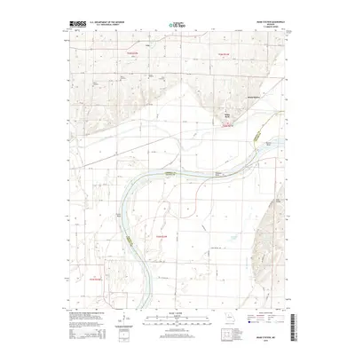
2015 Map of Miami Station
USGS Topo · Published 2015About this map
Salem, Cannon, and Elder cemeteries sit atop the rolling bluffs overlooking the Missouri River valley, marking the legacy of long-standing farming communities in this region. This riverfront landscape is defined by the significant bends and sloughs that have shaped local agriculture and transport, including Prunty Bend and Teteseau Bend. The drainage of the bottomlands is evident through systems like the Van Meter Ditch, which manages water flow near Teteseau Lake and Lake Wooldridge. Settlement patterns are concentrated at Miami Station and White Rock, where the high ground meets the valley floor. To the north, Wakenda Creek meanders through the flats, joined by tributaries such as Peavine Br and Lick Br, illustrating the intricate hydrologic network that supported Carroll and Saline counties.
Find a feature on this map
63 named features on this map. Tap any name to fly to it.
Don’t see what you’re looking for? This feature index may not catch every label — zoom into the map to look around manually.
Map Details
Editions of this 2015 Miami Station Map
This is the sole edition of this map. No revisions or reprints were ever made.
Other maps of this area

1890 · Marshall
USGS Topo · 1:125,000

1892 · Marshall
USGS Topo · 1:125,000

1901 · Marshall
USGS Topo · 1:125,000

1940 · Marshall
USGS Topo · 1:62,500

1944 · Marshall
USGS Topo · 1:62,500

1951 · Bosworth
USGS Topo · 1:24,000

1951 · Miami
USGS Topo · 1:24,000

1951 · Brunswick West
USGS Topo · 1:24,000

1951 · Miami Station
USGS Topo · 1:24,000

1951 · Carrollton East
USGS Topo · 1:24,000