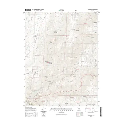
2015 Map of Michigan Bluff
USGS Topo · Published 2015About this map
Michigan Bluff and Byrds Valley stand on the high ridges of the Sierra Nevada, overlooking a landscape defined by gold-era history and deep river canyons. The North Fork of Middle Fork American River carves through the southern portion of the sheet, where numerous gravel bars like Stoney Bar, Alabama Bar, and Oxbow Bar reflect the area's rich mining heritage. The map documents an intricate network of water management and transport, featuring the Breece-and-Wheeler-Ditch winding across the Forest Hill Divide. Positioned between the Tahoe National Forest and Eldorado National Forest, the terrain is marked by distinctive landmarks such as Bogus Thunder, Devils Thumb, and the isolated settlement of Last Chance. These labels preserve the nomenclature of 19th-century prospectors and early forest rangers in Placer County.
Find a feature on this map
68 named features on this map. Tap any name to fly to it.
Don’t see what you’re looking for? This feature index may not catch every label — zoom into the map to look around manually.
Map Details
Editions of this 2015 Michigan Bluff Map
This is the sole edition of this map. No revisions or reprints were ever made.
Other maps of this area

1891 · Colfax
USGS Topo · 1:125,000

1891 · Placerville
USGS Topo · 1:125,000

1892 · Placerville
USGS Topo · 1:125,000

1892 · Colfax
USGS Topo · 1:125,000

1893 · Placerville
USGS Topo · 1:125,000

1894 · Colfax
USGS Topo · 1:125,000

1898 · Colfax
USGS Topo · 1:125,000

1900 · Colfax
USGS Topo · 1:125,000

1902 · Colfax
USGS Topo · 1:125,000

1938 · Colfax
USGS Topo · 1:125,000