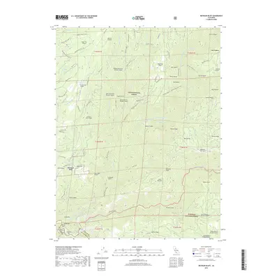
2018 Map of Michigan Bluff
USGS Topo · Published 2018About this map
Michigan Bluff and the surrounding gold-country landscape are defined by deep drainage basins and steep ridges at the meeting of Tahoe National Forest and Eldorado National Forest. This terrain is deeply incised by the North Fork of Middle Fork American River and its many tributaries, including Eldorado Cr and Brushy Cr. The network of early infrastructure remains visible through features like the Breece and Wheeler Ditch and old mining-era routes such as Mitchell Mine Rd and Michigan Bluff Rd. Along the riverbanks, numerous gravel bars such as Stumps Bar, Willow Bar, and Indian Bar reflect the historical significance of riparian activity in this part of Placer County. High points like Deadwood Ridge and Ralston Ridge provide the backbone for the Western States trail system that traverses this mountainous region.
Find a feature on this map
81 named features on this map. Tap any name to fly to it.
Don’t see what you’re looking for? This feature index may not catch every label — zoom into the map to look around manually.
Map Details
Editions of this 2018 Michigan Bluff Map
This is the sole edition of this map. No revisions or reprints were ever made.
Other maps of this area

1891 · Colfax
USGS Topo · 1:125,000

1891 · Placerville
USGS Topo · 1:125,000

1892 · Placerville
USGS Topo · 1:125,000

1892 · Colfax
USGS Topo · 1:125,000

1893 · Placerville
USGS Topo · 1:125,000

1894 · Colfax
USGS Topo · 1:125,000

1898 · Colfax
USGS Topo · 1:125,000

1900 · Colfax
USGS Topo · 1:125,000

1902 · Colfax
USGS Topo · 1:125,000

1938 · Colfax
USGS Topo · 1:125,000