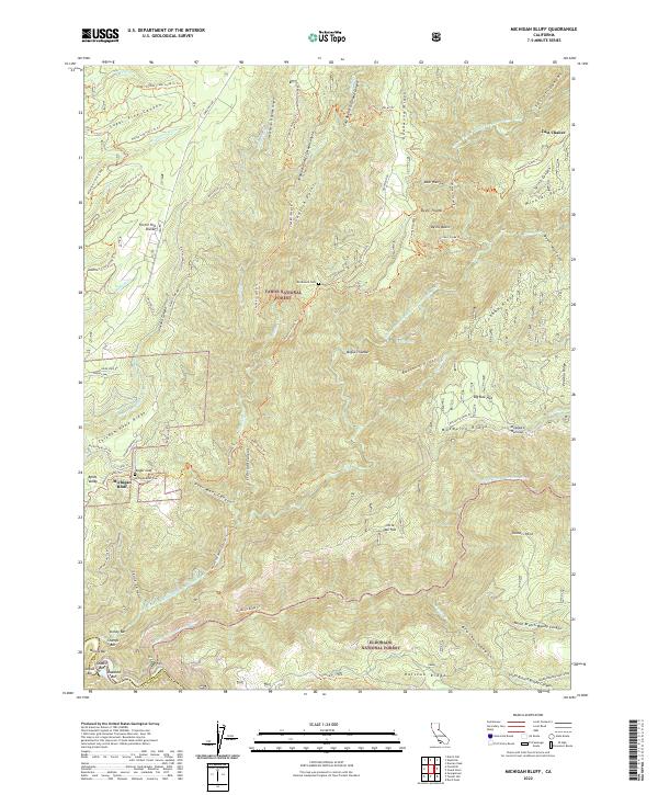
2022 Map of Michigan Bluff
USGS Topo · Published 2022About this map
Michigan Bluff and the isolated settlement of Last Chance occupy high ridges above the deeply incised canyons of the American River system in Placer County. This terrain is defined by the historic hydraulic and placer mining legacy of the California Gold Country, evidenced by features like the Breece and Wheeler Ditch and numerous river bars including Stoney Bar, Alabama Bar, and Oxbow Bar along the Middle Fork American River. The map traces the rugged divide between the Tahoe National Forest and Eldorado National Forest, where the Western States Trl follows ancient paths through Mosquito Narrows and across the Forest Hill Divide. Genealogists will find the Michigan Bluff Cem and the remote Deadwood Cem near Deadwood Ridge, markers of the 19th-century communities that once thrived in these high-altitude mining districts.
Find a feature on this map
90 named features on this map. Tap any name to fly to it.
Don’t see what you’re looking for? This feature index may not catch every label — zoom into the map to look around manually.
Map Details
Editions of this 2022 Michigan Bluff Map
This is the sole edition of this map. No revisions or reprints were ever made.
Other maps of this area

1891 · Colfax
USGS Topo · 1:125,000

1891 · Placerville
USGS Topo · 1:125,000

1892 · Placerville
USGS Topo · 1:125,000

1892 · Colfax
USGS Topo · 1:125,000

1893 · Placerville
USGS Topo · 1:125,000

1894 · Colfax
USGS Topo · 1:125,000

1898 · Colfax
USGS Topo · 1:125,000

1900 · Colfax
USGS Topo · 1:125,000

1902 · Colfax
USGS Topo · 1:125,000

1938 · Colfax
USGS Topo · 1:125,000