
1963 Map of Michigan Island
USGS Topo · Published 1965About this map
Michigan Island and the surrounding waters of Lake Superior dominate this 1963 hydrographic and topographic study within La Pointe Twp. The map provides a specialized look at the maritime geography of the eastern Apostle Islands, emphasizing coastal navigation and underwater terrain. Key navigational markers are documented, including the Michigan Island Light on the southwestern tip of its namesake island and the Gull Island Light positioned to the northeast. Beyond the prominent landmasses, the survey details significant hazards and features like Gull Island Shoal and the southern edge of Outer Island at Sand Point. This record is particularly valuable for its bathymetric data, showing the varying depths of the lake floor as it transitions from the shallow shoals to the deeper waters of the open lake during the mid-twentieth century.
Find a feature on this map
9 named features on this map. Tap any name to fly to it.
Don’t see what you’re looking for? This feature index may not catch every label — zoom into the map to look around manually.
Map Details
Editions of this 1963 Michigan Island Map
This is the sole edition of this map. No revisions or reprints were ever made.
Other maps of this area

1953 · Ashland
USGS Topo · 1:250,000

1954 · Two Harbors
USGS Topo · 1:250,000

1957 · Two Harbors
USGS Topo · 1:250,000

1958 · Ashland
USGS Topo · 1:250,000

1958 · Two Harbors
USGS Topo · 1:250,000
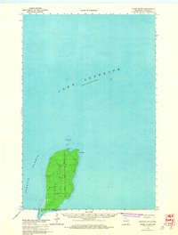
1963 · Outer Island
USGS Topo · 1:62,500

1963 · Cat Island
USGS Topo · 1:24,000

1963 · Rocky Island
USGS Topo · 1:62,500
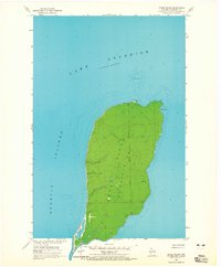
1963 · Outer Island
USGS Topo · 1:24,000
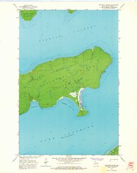
1963 · Stockton Island
USGS Topo · 1:24,000