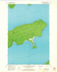
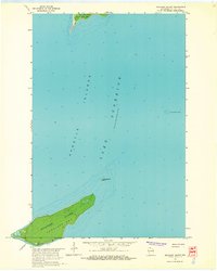
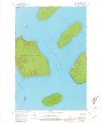
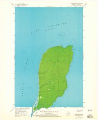
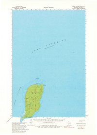
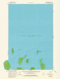
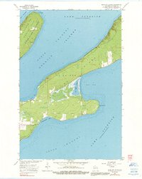
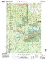
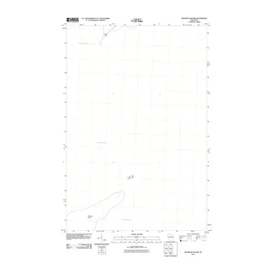
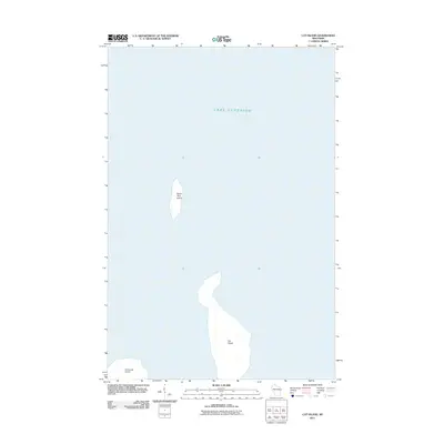
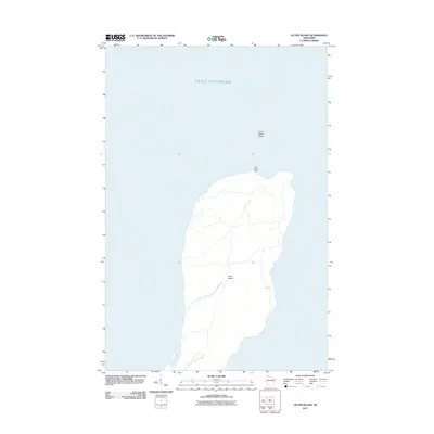
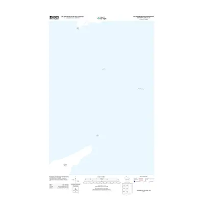
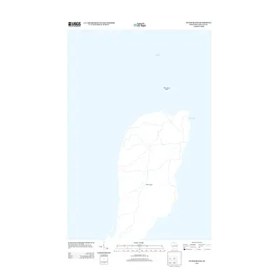
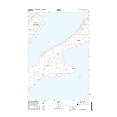
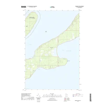
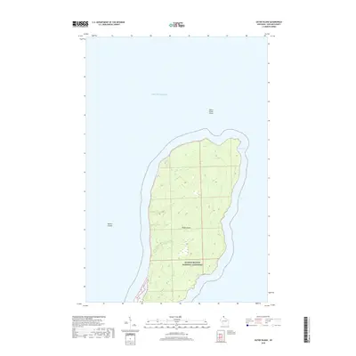
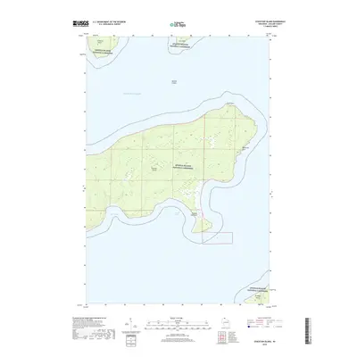
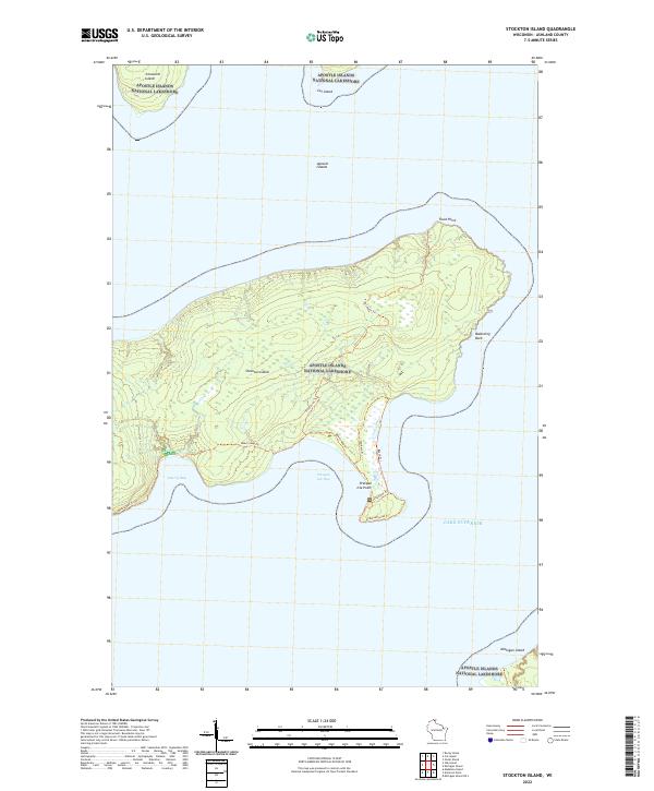
1963 Map of Stockton Island
USGS Topo · Published 1965About this map
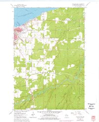
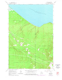
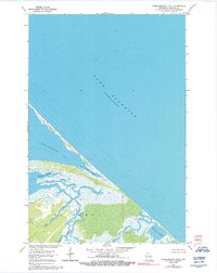
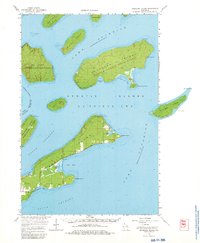
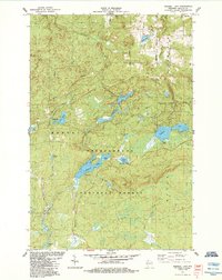
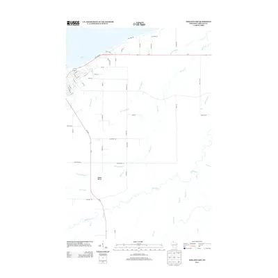
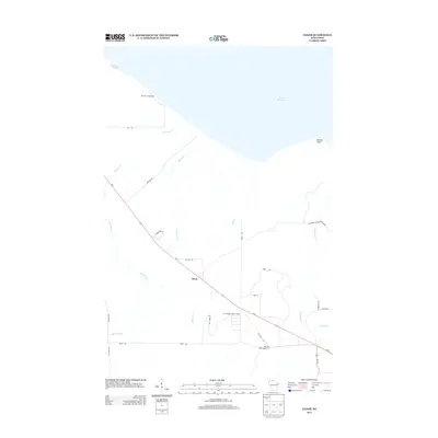
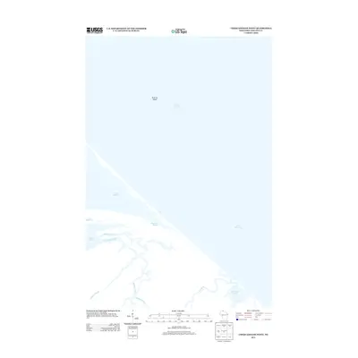
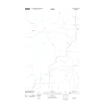
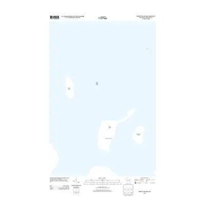
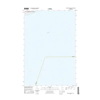
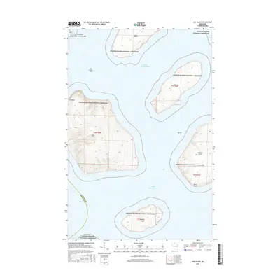
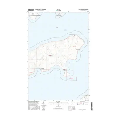
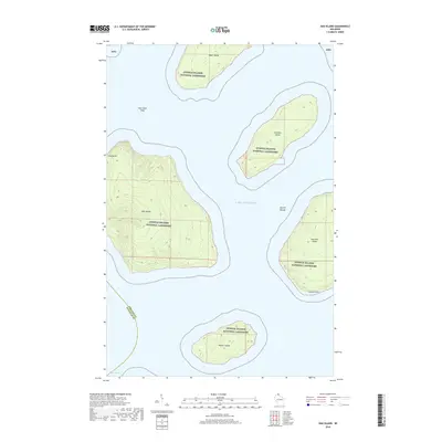
Stockton Island dominates this mid-century survey of the Apostle Islands in Lake Superior. The landscape is largely defined by the Apostle Islands State Forest, showing a network of inland trails and the distinct coastal topography of the region. A notable industrial marker is found at Quarry Bay, where the namesake Quarry indicates the historical extraction of local stone. The map detail extends to surrounding landmasses including Ironwood Island, Cat Island, and the northern tip of Michigan Island. Natural landmarks like Balancing Rock and the prominent Presque Isle Point highlight the island's unique geological features. This documentation by the U.S. Geological Survey reflects the area's transition towards conservation and recreational use within La Pointe Twp prior to the formal establishment of the National Lakeshore.
Find a feature on this map
15 named features on this map. Tap any name to fly to it.
Don’t see what you’re looking for? This feature index may not catch every label — zoom into the map to look around manually.
Map Details
Editions of this 1963 Stockton Island Map
2 editions found
Historical Maps of La Pointe Through Time
155 maps found
1956 Mt. Whittlesey
Ashland County, WI
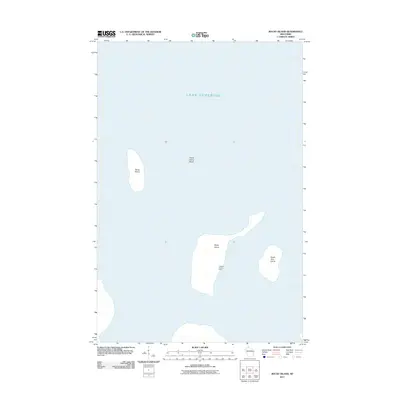
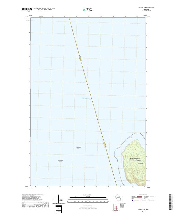
1963 Bear Island
Ashland County, WI
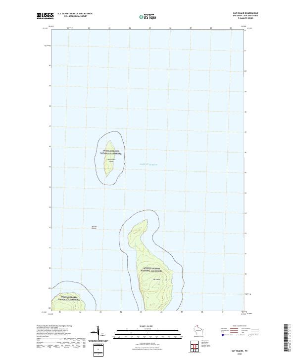
1963 Cat Island
Ashland County, WI
1963 Michigan Island
Ashland County, WI
1963 Oak Island
Ashland County, WI
1963 Outer Island
Ashland County, WI
1963 Outer Island
Ashland County, WI
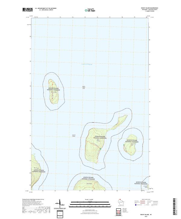
1963 Rocky Island
Ashland County, WI
1963 Rocky Island
Ashland County, WI
1963 Stockton Island
Ashland County, WI
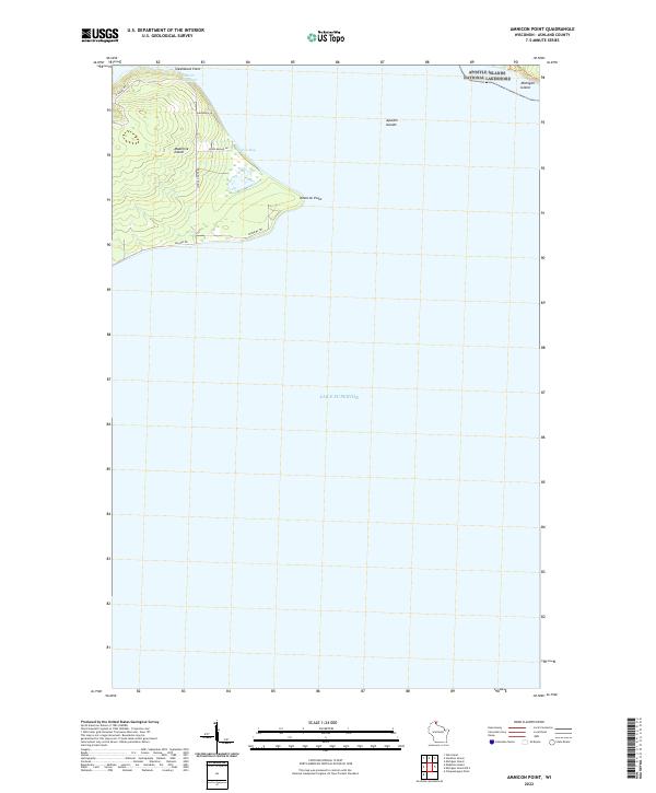
1964 Amnicon Point
Ashland County, WI
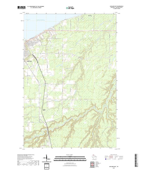
1964 Ashland East
Ashland County, WI
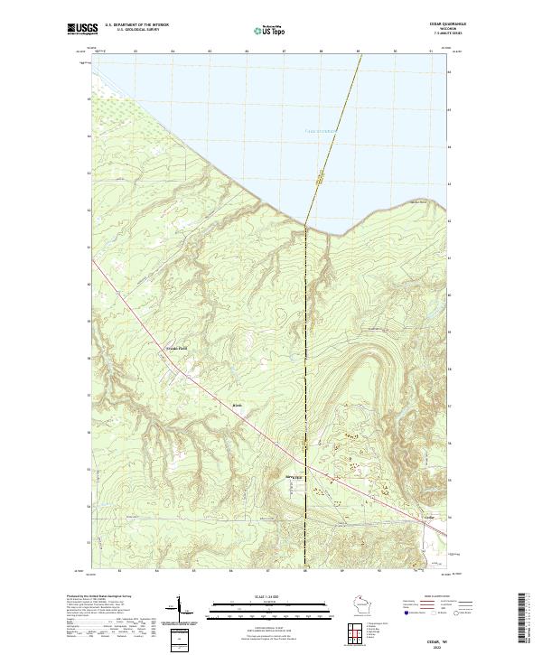
1964 Cedar
Ashland County, WI
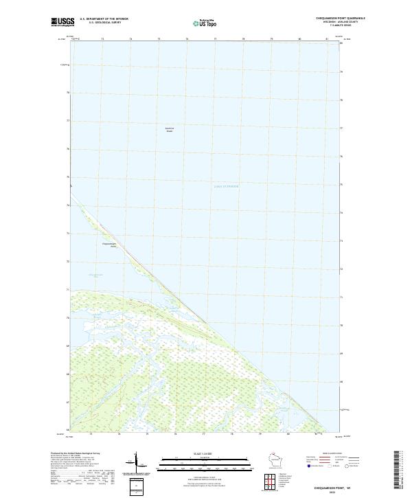
1964 Chequamegon Point
Ashland County, WI
1964 Madeline Island
Ashland County, WI
1964 Madeline Island
Ashland County, WI
1967 Marengo SE
Ashland County, WI
1967 Mt. Whittlesey
Ashland County, WI

1971 Clam Lake NE
Ashland County, WI
1971 Clam Lake SE
Ashland County, WI

1978 Outer Island
Ashland County, WI

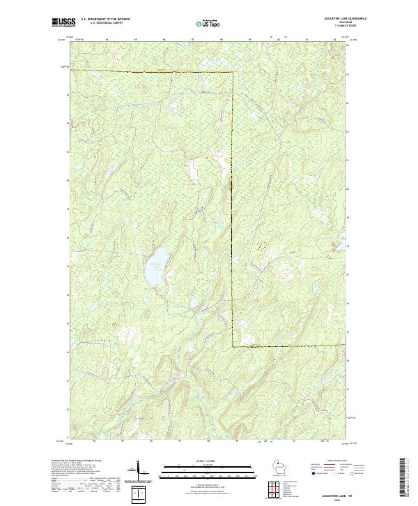
1984 Augustine Lake
Ashland County, WI

1984 Gurney
Ashland County, WI

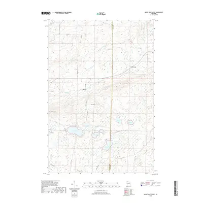
1984 Hay Creek Flowage
Ashland County, WI

1984 High Bridge
Ashland County, WI
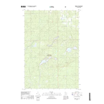
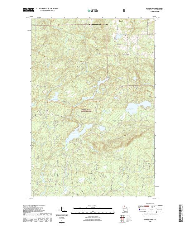
1984 Mineral Lake
Ashland County, WI

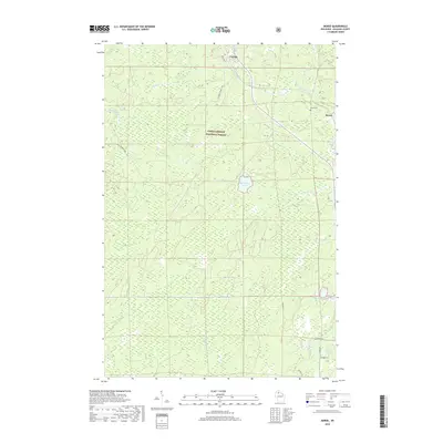
1984 Morse
Ashland County, WI

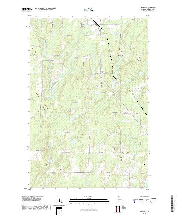
1984 Peeksville
Ashland County, WI
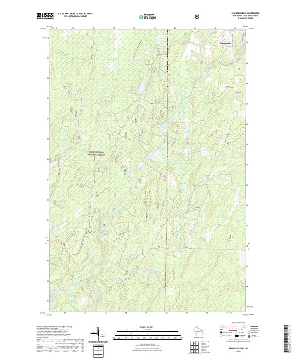
1984 Shanagolden
Ashland County, WI

1990 Outer Island
Ashland County, WI
2005 Clam Lake NE
Ashland County, WI
2005 Clam Lake SE
Ashland County, WI
2005 Mineral Lake
Ashland County, WI
2005 Morse
Ashland County, WI
2005 Shanagolden
Ashland County, WI
2010 Amnicon Point
Ashland County, WI
2010 Ashland East
Ashland County, WI
2010 Augustine Lake
Ashland County, WI
2010 Cedar
Ashland County, WI
2010 Chequamegon Point
Ashland County, WI
2010 Gurney
Ashland County, WI
2010 Hay Creek Flowage
Ashland County, WI
2010 High Bridge
Ashland County, WI
2010 Madeline Island
Ashland County, WI
2010 Michigan Island
Ashland County, WI
2010 Michigan Island OE S
Ashland County, WI
2010 Mount Whittlesey
Ashland County, WI
2010 Oak Island
Ashland County, WI
2010 Peeksville
Ashland County, WI
2010 Stockton Island
Ashland County, WI
2011 Bear Island
Ashland County, WI
2011 Cat Island
Ashland County, WI
2011 Clam Lake NE
Ashland County, WI
2011 Clam Lake SE
Ashland County, WI
2011 Mineral Lake
Ashland County, WI
2011 Morse
Ashland County, WI
2011 Outer Island
Ashland County, WI
2011 Rocky Island
Ashland County, WI
2011 Shanagolden
Ashland County, WI
2013 Amnicon Point
Ashland County, WI
2013 Ashland East
Ashland County, WI
2013 Augustine Lake
Ashland County, WI
2013 Bear Island
Ashland County, WI
2013 Cat Island
Ashland County, WI
2013 Cedar
Ashland County, WI
2013 Chequamegon Point
Ashland County, WI
2013 Clam Lake NE
Ashland County, WI
2013 Clam Lake SE
Ashland County, WI
2013 Gurney
Ashland County, WI
2013 Hay Creek Flowage
Ashland County, WI
2013 High Bridge
Ashland County, WI
2013 Madeline Island
Ashland County, WI
2013 Michigan Island
Ashland County, WI
2013 Michigan Island OE S
Ashland County, WI
2013 Mineral Lake
Ashland County, WI
2013 Morse
Ashland County, WI
2013 Mount Whittlesey
Ashland County, WI
2013 Oak Island
Ashland County, WI
2013 Outer Island
Ashland County, WI
2013 Peeksville
Ashland County, WI
2013 Rocky Island
Ashland County, WI
2013 Shanagolden
Ashland County, WI
2013 Stockton Island
Ashland County, WI
2015 Amnicon Point
Ashland County, WI
2015 Ashland East
Ashland County, WI
2015 Augustine Lake
Ashland County, WI
2015 Bear Island
Ashland County, WI
2015 Cat Island
Ashland County, WI
2015 Cedar
Ashland County, WI
2015 Chequamegon Point
Ashland County, WI
2015 Clam Lake NE
Ashland County, WI
2015 Clam Lake SE
Ashland County, WI
2015 Gurney
Ashland County, WI
2015 Hay Creek Flowage
Ashland County, WI
2015 High Bridge
Ashland County, WI
2015 Madeline Island
Ashland County, WI

2015 Michigan Island
Ashland County, WI
2015 Michigan Island OE S
Ashland County, WI
2015 Mineral Lake
Ashland County, WI
2015 Morse
Ashland County, WI
2015 Mount Whittlesey
Ashland County, WI
2015 Oak Island
Ashland County, WI
2015 Outer Island
Ashland County, WI
2015 Peeksville
Ashland County, WI
2015 Rocky Island
Ashland County, WI
2015 Shanagolden
Ashland County, WI
2015 Stockton Island
Ashland County, WI
2018 Amnicon Point
Ashland County, WI
2018 Ashland East
Ashland County, WI
2018 Augustine Lake
Ashland County, WI
2018 Bear Island
Ashland County, WI
2018 Cat Island
Ashland County, WI
2018 Cedar
Ashland County, WI

2018 Chequamegon Point
Ashland County, WI
2018 Clam Lake NE
Ashland County, WI
2018 Clam Lake SE
Ashland County, WI
2018 Gurney
Ashland County, WI
2018 Hay Creek Flowage
Ashland County, WI
2018 High Bridge
Ashland County, WI
2018 Madeline Island
Ashland County, WI
2018 Michigan Island
Ashland County, WI
2018 Michigan Island OE S
Ashland County, WI
2018 Mineral Lake
Ashland County, WI
2018 Morse
Ashland County, WI
2018 Mount Whittlesey
Ashland County, WI
2018 Oak Island
Ashland County, WI
2018 Outer Island
Ashland County, WI
2018 Peeksville
Ashland County, WI
2018 Rocky Island
Ashland County, WI
2018 Shanagolden
Ashland County, WI
2018 Stockton Island
Ashland County, WI
2022 Amnicon Point
Ashland County, WI
2022 Ashland East
Ashland County, WI
2022 Augustine Lake
Ashland County, WI
2022 Bear Island
Ashland County, WI
2022 Cat Island
Ashland County, WI
2022 Cedar
Ashland County, WI
2022 Chequamegon Point
Ashland County, WI
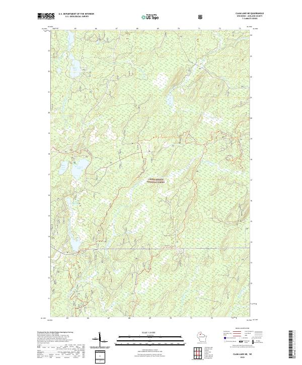
2022 Clam Lake NE
Ashland County, WI
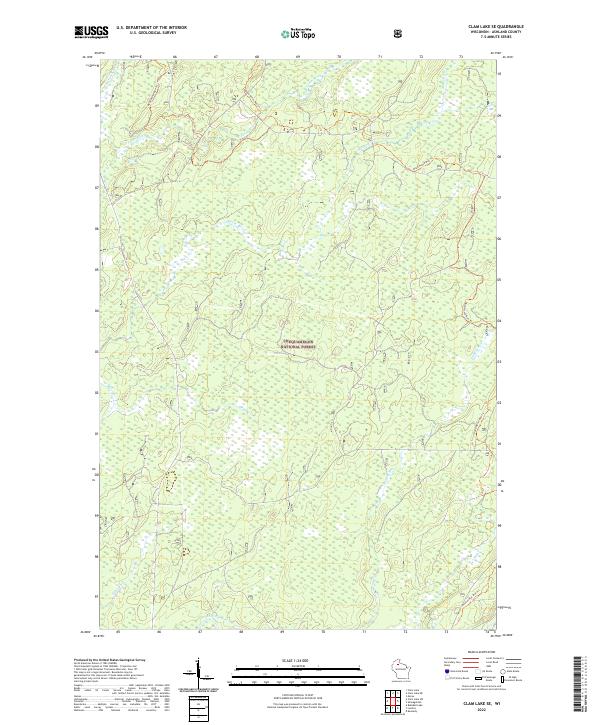
2022 Clam Lake SE
Ashland County, WI
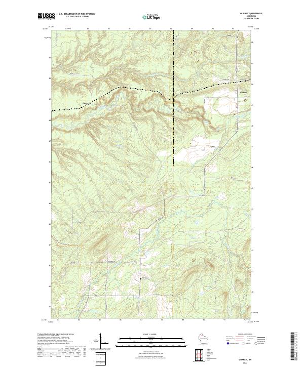
2022 Gurney
Ashland County, WI
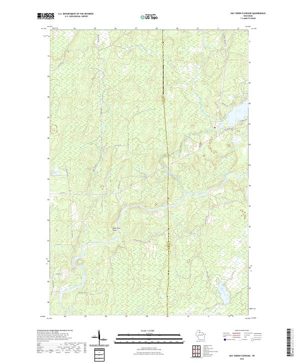
2022 Hay Creek Flowage
Ashland County, WI
2022 High Bridge
Ashland County, WI
2022 Madeline Island
Ashland County, WI
2022 Michigan Island
Ashland County, WI
2022 Michigan Island OE S
Ashland County, WI
2022 Mineral Lake
Ashland County, WI
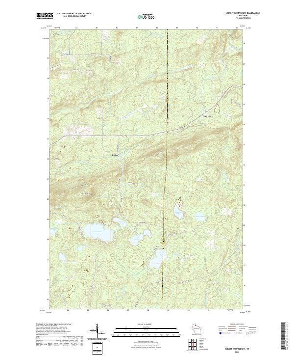
2022 Mount Whittlesey
Ashland County, WI
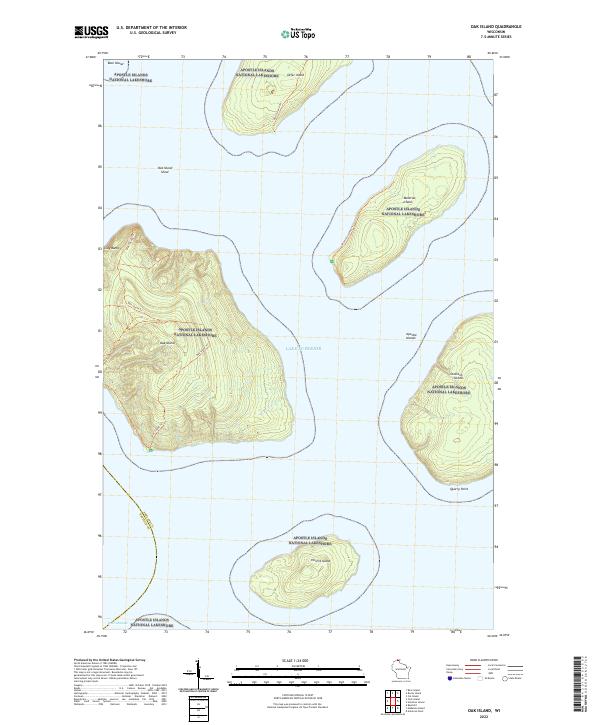
2022 Oak Island
Ashland County, WI
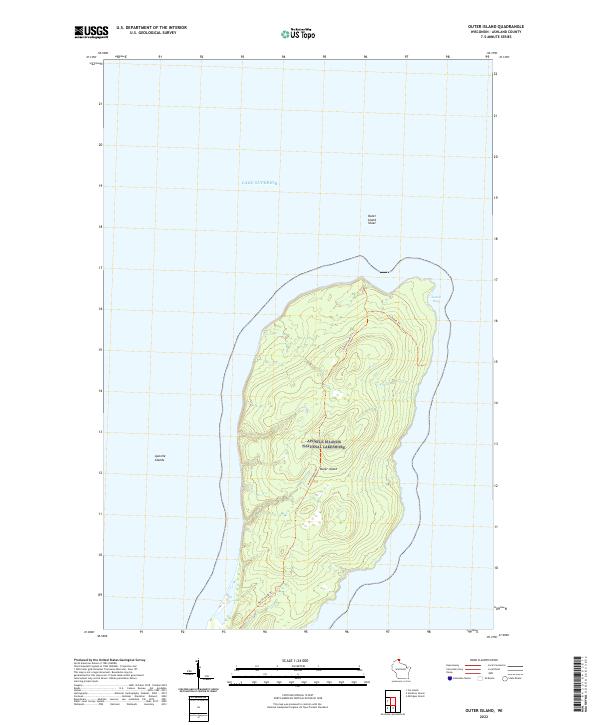
2022 Outer Island
Ashland County, WI
2022 Peeksville
Ashland County, WI
2022 Rocky Island
Ashland County, WI
2022 Shanagolden
Ashland County, WI
2022 Stockton Island
Ashland County, WI
2023 Morse
Ashland County, WI