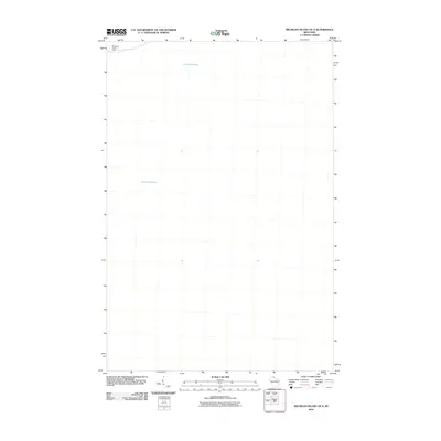
2010 Map of Michigan Island OE S
USGS Topo · Published 2010About this map
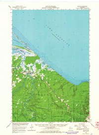
The vast expanse of Lake Superior dominates this nautical landscape in the Apostle Islands region. In the northwestern corner of the quadrangle, the Michigan Island Light stands as the primary navigational landmark, marking the edge of a landmass that mostly falls outside this specific sheet. This survey focuses almost entirely on the open water and the maritime approach to the islands, illustrating the strategic importance of the light station for vessels navigating the western reaches of the Great Lakes in the early twenty-first century.
Find a feature on this map
2 named features on this map. Tap any name to fly to it.
Don’t see what you’re looking for? This feature index may not catch every label — zoom into the map to look around manually.
Map Details
Editions of this 2010 Michigan Island OE S Map
This is the sole edition of this map. No revisions or reprints were ever made.
Other maps of this area

1943 · Little Girl Point
USGS Topo · 1:48,000

1943 · Odanah
USGS Topo · 1:48,000

1945 · Odanah
USGS Topo · 1:48,000

1953 · Ashland
USGS Topo · 1:250,000
1956 · Little Girls Point
USGS Topo · 1:62,500

1958 · Ashland
USGS Topo · 1:250,000

1963 · Michigan Island
USGS Topo · 1:24,000
1963 · Stockton Island
USGS Topo · 1:24,000
1964 · Amnicon Point
USGS Topo · 1:24,000
1964 · Odanah
USGS Topo · 1:62,500