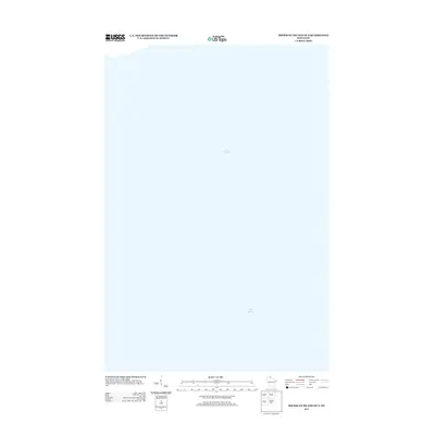
2013 Map of Michigan Island OE S
USGS Topo · Published 2013About this map
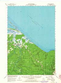
Lake Superior dominates this nautical-focused survey of the open waters southeast of Michigan Island in the Apostle Islands region. Produced by the U.S. Geological Survey, the map provides a precise bathymetric and hydrographic perspective of this portion of the Great Lakes in the early 21st century. The expanse shown here represents a critical navigation area within the Apostle Islands National Lakeshore, where the deep waters of the world's largest freshwater lake by surface area meet the complex underwater topography of northern Wisconsin.
Find a feature on this map
1 named feature on this map. Tap any name to fly to it.
Don’t see what you’re looking for? This feature index may not catch every label — zoom into the map to look around manually.
Map Details
Editions of this 2013 Michigan Island OE S Map
This is the sole edition of this map. No revisions or reprints were ever made.
Other maps of this area

1943 · Little Girl Point
USGS Topo · 1:48,000

1943 · Odanah
USGS Topo · 1:48,000

1945 · Odanah
USGS Topo · 1:48,000

1953 · Ashland
USGS Topo · 1:250,000
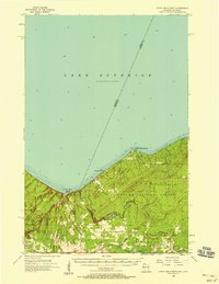
1956 · Little Girls Point
USGS Topo · 1:62,500

1958 · Ashland
USGS Topo · 1:250,000

1963 · Michigan Island
USGS Topo · 1:24,000
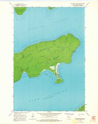
1963 · Stockton Island
USGS Topo · 1:24,000
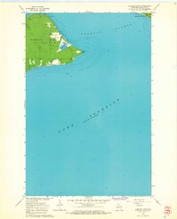
1964 · Amnicon Point
USGS Topo · 1:24,000
1964 · Odanah
USGS Topo · 1:62,500