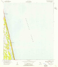
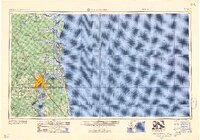
1952 Map of Mickler Landing
USGS Topo · Published 1956About this map
Ponte Vedra Beach and the shoreline of Mickler Landing are mapped here as they appeared in the early 1950s, bounded by the Atlantic Ocean to the east and the Guano River to the west. This narrow strip of land along the Florida coast is bisected by the iconic a1a highway, which serves as the primary artery for local travel and development. The mapping reflects a landscape of coastal dunes and wetlands, with hydrography based on earlier charts from the 1920s and culture compiled from 1949 aerial photography.
Find a feature on this map
10 named features on this map. Tap any name to fly to it.
Don’t see what you’re looking for? This feature index may not catch every label — zoom into the map to look around manually.
Map Details
Editions of this 1952 Mickler Landing Map
This is the sole edition of this map. No revisions or reprints were ever made.
Other maps of this area

1918 · Palm Valley
USGS Topo · 1:62,500

1918 · Mayport
USGS Topo · 1:62,500

1948 · Jacksonville
USGS Topo · 1:250,000

1948 · Jacksonville Beach
USGS Topo · 1:24,000

1949 · Jacksonville Beach
USGS Topo · 1:24,000
1952 · South Ponte Vedra Beach
USGS Topo · 1:24,000
1952 · Durbin
USGS Topo · 1:24,000
1952 · Palm Valley
USGS Topo · 1:24,000

1957 · Jacksonville
USGS Topo · 1:250,000
1959 · Jacksonville
USGS Topo · 1:250,000