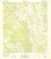
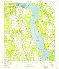
1952 Map of Durbin
USGS Topo · Published 1956About this map
The Florida East Coast Line cuts a sharp diagonal through the marshy lowlands of St. Johns County, defining the early 20th-century transport corridor of this coastal region. Small settlements like Durbin and Hilden are situated along this primary rail artery, which is accompanied by a telephone line and early road network. The landscape is dominated by an intricate drainage system including Durbin Creek, Sampson Creek, and Sweetwater Creek, which meander through expansive wetland features such as Big Island Swamp and Dry Swamp. To the east, the Tolomato River (Intracoastal Waterway) parallels the Atlantic coastline, serving as a critical maritime thoroughfare. This survey illustrates the geography before modern suburban expansion, highlighting localized landmarks like the Lookout Tower and Ragged Island that served as navigational points in a terrain largely defined by water and woods.
Find a feature on this map
21 named features on this map. Tap any name to fly to it.
Don’t see what you’re looking for? This feature index may not catch every label — zoom into the map to look around manually.
Map Details
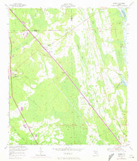
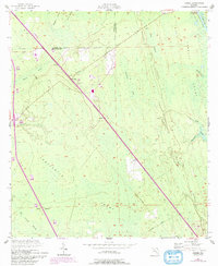
Editions of this 1952 Durbin Map
3 editions found
Other maps of this area

1917 · Orange Park
USGS Topo · 1:62,500

1918 · Orange Park
USGS Topo · 1:62,500

1918 · Palm Valley
USGS Topo · 1:62,500

1937 · Bakersville
USGS Topo · 1:24,000

1937 · St. Augustine
USGS Topo · 1:24,000

1943 · St. Augustine
USGS Topo · 1:62,500

1947 · Bostwick
USGS Topo · 1:50,000

1948 · Jacksonville
USGS Topo · 1:250,000
1949 · Picolata
USGS Topo · 1:24,000
1949 · Bostwick
USGS Topo · 1:62,500