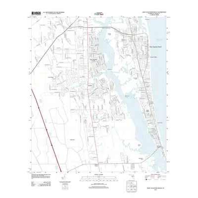
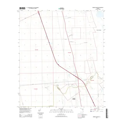
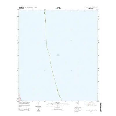
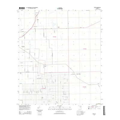
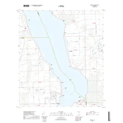
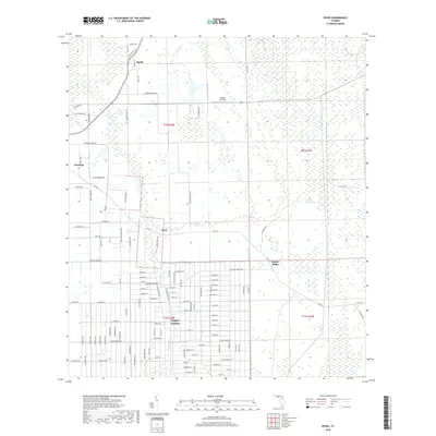
1952 Map of Durbin
USGS Topo · Published 1992About this map
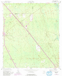
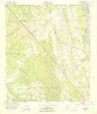
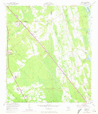
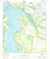
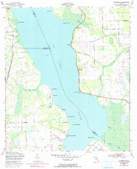
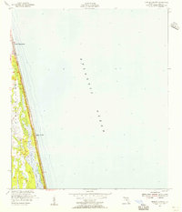
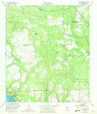
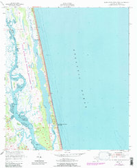
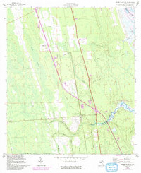
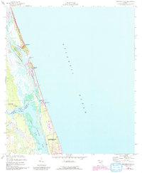
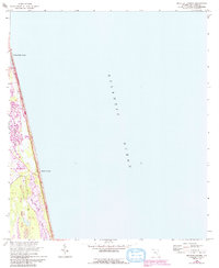
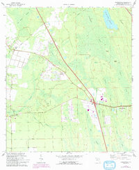
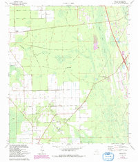
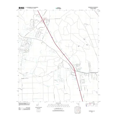
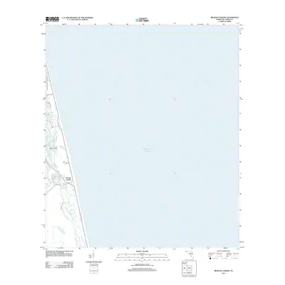
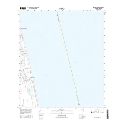
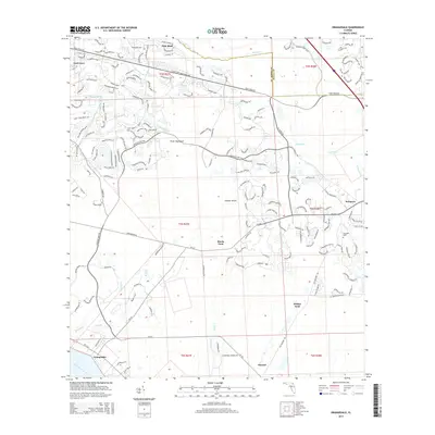
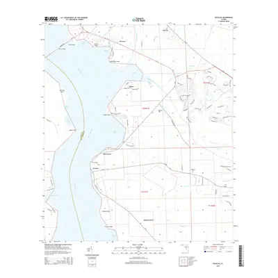
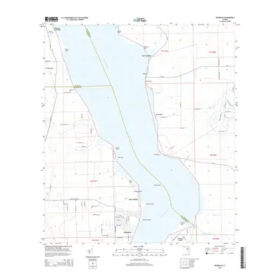
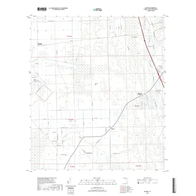
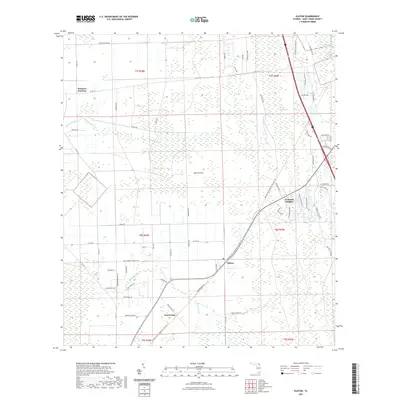
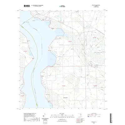
The Florida East Coast railway corridor serves as the primary axis through this northeast Florida landscape, connecting the small settlements of Durbin and Hilden. In the early 1950s, the area was defined by a massive network of wetlands and seasonal drainages, including the expansive Snowden Bay and the low-lying Big Island Swamp. The northeastern corner transitions into the tidal influence of the Intracoastal Waterway and the Tolomato R, preserved in part by the Guana River State Park. A prominent Lookout Tower near Durbin stands as a landmark of mid-century forestry management. Moving south, the map details the rural infrastructure of the era, from the Telephone Line following the rail grade to old thoroughfares like Palm Valley Road and Ninemile Road, which provided essential links across the marshy terrain of Cabbage Swamp and Dry Swamp.
Find a feature on this map
28 named features on this map. Tap any name to fly to it.
Don’t see what you’re looking for? This feature index may not catch every label — zoom into the map to look around manually.
Map Details
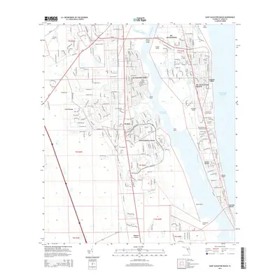
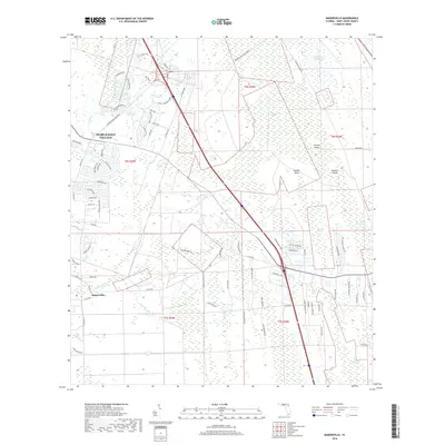
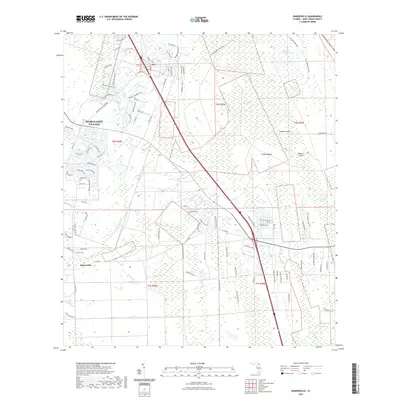
Editions of this 1952 Durbin Map
3 editions found
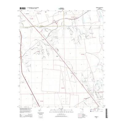
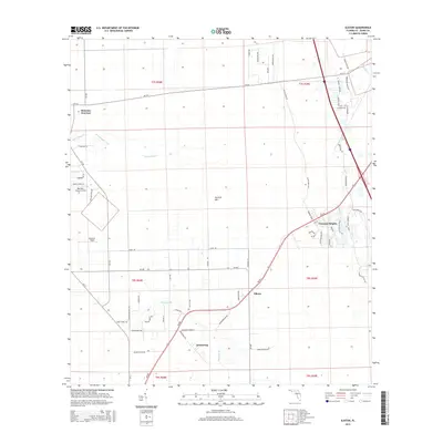
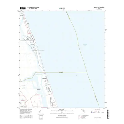
Historical Maps of Jacksonville Through Time
87 maps found

1937 Bakersville
St. Johns County, FL

1937 Elkton
St. Johns County, FL
1949 Picolata
St. Johns County, FL
1949 Riverdale
St. Johns County, FL
1952 Durbin
St. Johns County, FL
1952 Mickler Landing
St. Johns County, FL
1952 Orangedale
St. Johns County, FL
1952 South Ponte Vedra Beach
St. Johns County, FL
1956 Dinner Island NE
St. Johns County, FL
1956 Matanzas Inlet
St. Johns County, FL
1964 Mickler Landing
St. Johns County, FL
1970 Bakersville
St. Johns County, FL
1970 Elkton
St. Johns County, FL
1970 Spuds
St. Johns County, FL
1991 Picolata
St. Johns County, FL

1991 Riverdale
St. Johns County, FL
1993 Orangedale
St. Johns County, FL
2012 Bakersville
St. Johns County, FL

2012 Dinner Island NE
St. Johns County, FL
2012 Durbin
St. Johns County, FL
2012 Elkton
St. Johns County, FL
2012 Matanzas Inlet
St. Johns County, FL
2012 Mickler Landing
St. Johns County, FL
2012 Orangedale
St. Johns County, FL
2012 Picolata
St. Johns County, FL
2012 Riverdale
St. Johns County, FL

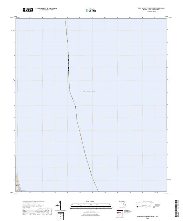
2012 Saint Augustine Beach OE E
St. Johns County, FL
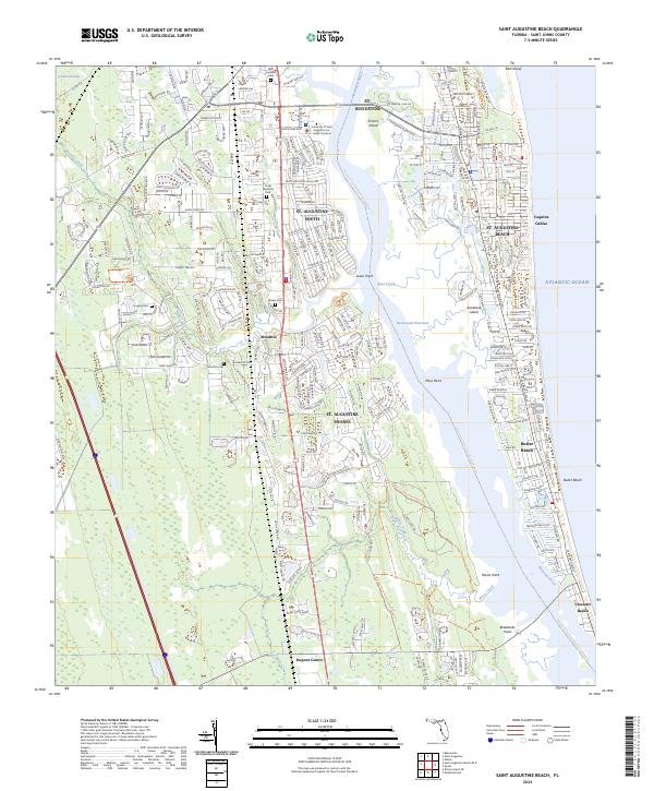
2012 Saint Augustine Beach
St. Johns County, FL

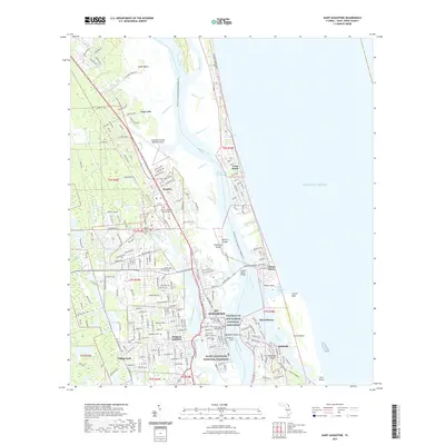
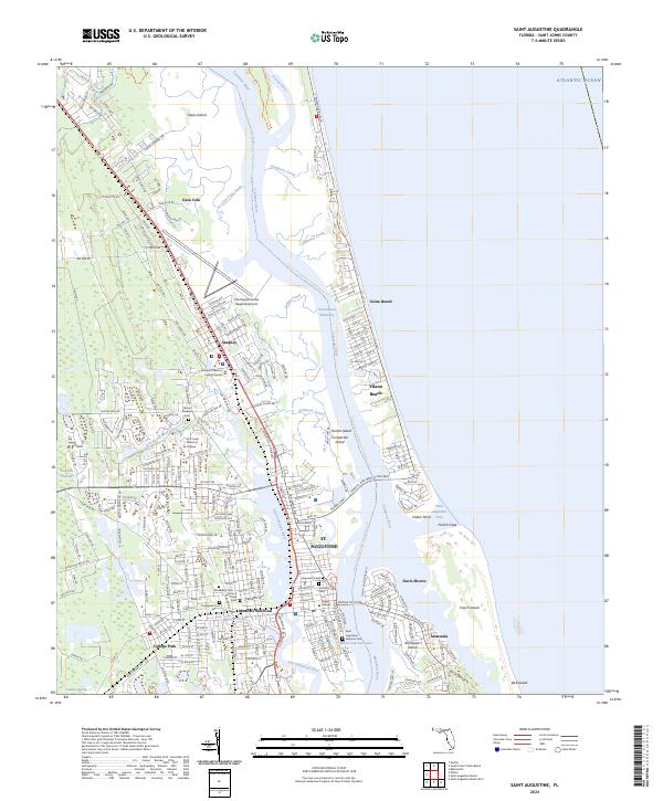
2012 Saint Augustine
St. Johns County, FL
2012 South Ponte Vedra Beach
St. Johns County, FL
2012 Spuds
St. Johns County, FL
2015 Bakersville
St. Johns County, FL
2015 Dinner Island NE
St. Johns County, FL
2015 Durbin
St. Johns County, FL
2015 Elkton
St. Johns County, FL
2015 Matanzas Inlet
St. Johns County, FL
2015 Mickler Landing
St. Johns County, FL
2015 Orangedale
St. Johns County, FL
2015 Picolata
St. Johns County, FL
2015 Riverdale
St. Johns County, FL
2015 Saint Augustine Beach OE E
St. Johns County, FL
2015 Saint Augustine Beach
St. Johns County, FL
2015 Saint Augustine
St. Johns County, FL
2015 South Ponte Vedra Beach
St. Johns County, FL
2015 Spuds
St. Johns County, FL
2018 Bakersville
St. Johns County, FL
2018 Dinner Island NE
St. Johns County, FL
2018 Durbin
St. Johns County, FL
2018 Elkton
St. Johns County, FL
2018 Matanzas Inlet
St. Johns County, FL

2018 Mickler Landing
St. Johns County, FL
2018 Orangedale
St. Johns County, FL
2018 Picolata
St. Johns County, FL
2018 Riverdale
St. Johns County, FL
2018 Saint Augustine Beach OE E
St. Johns County, FL
2018 Saint Augustine Beach
St. Johns County, FL

2018 Saint Augustine
St. Johns County, FL
2018 South Ponte Vedra Beach
St. Johns County, FL
2018 Spuds
St. Johns County, FL
2021 Bakersville
St. Johns County, FL
2021 Dinner Island NE
St. Johns County, FL
2021 Durbin
St. Johns County, FL
2021 Elkton
St. Johns County, FL
2021 Matanzas Inlet
St. Johns County, FL
2021 Mickler Landing
St. Johns County, FL
2021 Orangedale
St. Johns County, FL
2021 Picolata
St. Johns County, FL
2021 Riverdale
St. Johns County, FL
2021 Saint Augustine Beach OE E
St. Johns County, FL
2021 Saint Augustine Beach
St. Johns County, FL
2021 Saint Augustine
St. Johns County, FL
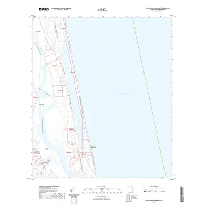
2021 South Ponte Vedra Beach
St. Johns County, FL
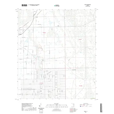
2021 Spuds
St. Johns County, FL
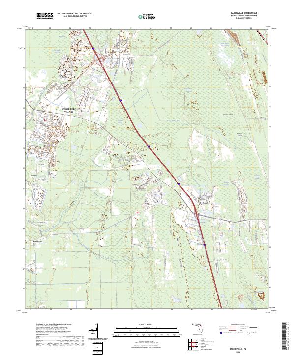
2024 Bakersville
St. Johns County, FL
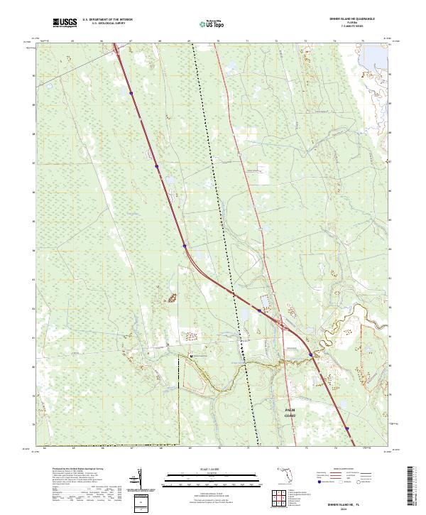
2024 Dinner Island NE
St. Johns County, FL
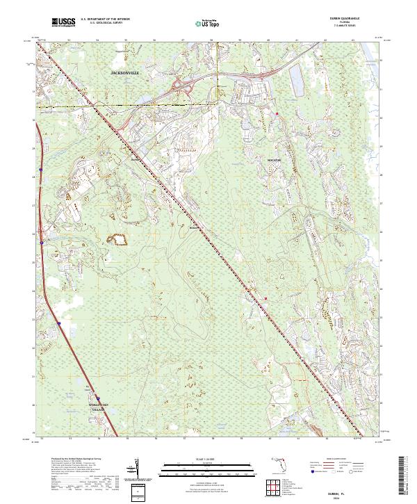
2024 Durbin
St. Johns County, FL
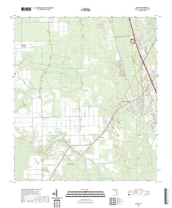
2024 Elkton
St. Johns County, FL
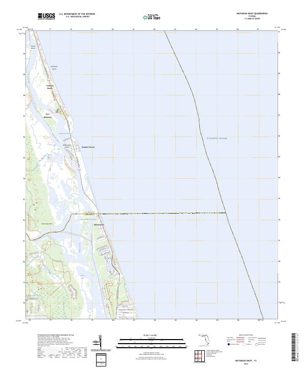
2024 Matanzas Inlet
St. Johns County, FL
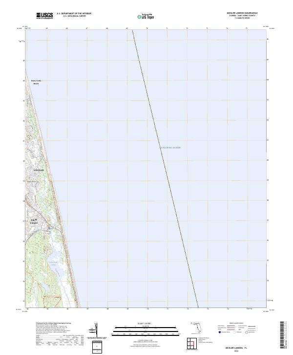
2024 Mickler Landing
St. Johns County, FL
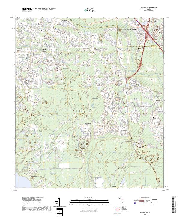
2024 Orangedale
St. Johns County, FL
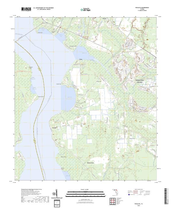
2024 Picolata
St. Johns County, FL
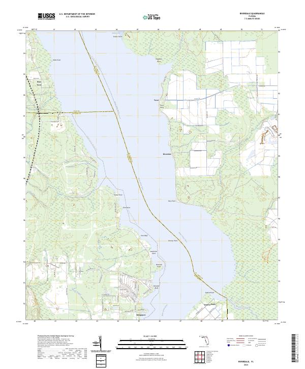
2024 Riverdale
St. Johns County, FL
2024 Saint Augustine Beach OE E
St. Johns County, FL
2024 Saint Augustine Beach
St. Johns County, FL
2024 Saint Augustine
St. Johns County, FL
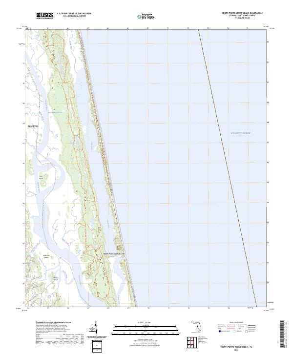
2024 South Ponte Vedra Beach
St. Johns County, FL
2024 Spuds
St. Johns County, FL