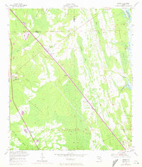
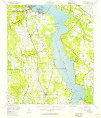
1952 Map of Durbin
USGS Topo · Published 1972About this map
The Florida East Coast Line cuts a sharp diagonal through this northern St. Johns County landscape, serving as the primary corridor for development between the extensive wetlands. The settlements of Durbin and Hilden are situated directly along this rail route, with a Lookout Tower standing as a prominent landmark near the junction of the tracks and early roads. To the east, the Tolomato River and the Intracoastal Waterway define the coastal boundary, while the interior is dominated by vast hydrologic features like Twelve Mile Swamp and Cabbage Swamp. This 1952 survey, with revisions from 1970, illustrates the region's reliance on the railroad and waterway for connectivity before the expansion of modern highway networks. Drainage patterns are clearly marked by Durbin Creek and Sampson Creek, which navigate around elevated features such as Ragged Island and Scrub Ridge.
Find a feature on this map
21 named features on this map. Tap any name to fly to it.
Don’t see what you’re looking for? This feature index may not catch every label — zoom into the map to look around manually.
Map Details
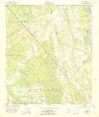
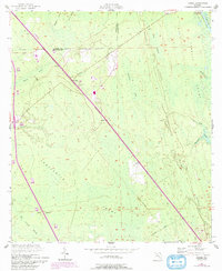
Editions of this 1952 Durbin Map
3 editions found
Other maps of this area

1917 · Orange Park
USGS Topo · 1:62,500

1918 · Orange Park
USGS Topo · 1:62,500

1918 · Palm Valley
USGS Topo · 1:62,500

1937 · Bakersville
USGS Topo · 1:24,000

1937 · St. Augustine
USGS Topo · 1:24,000

1943 · St. Augustine
USGS Topo · 1:62,500

1947 · Bostwick
USGS Topo · 1:50,000

1948 · Jacksonville
USGS Topo · 1:250,000
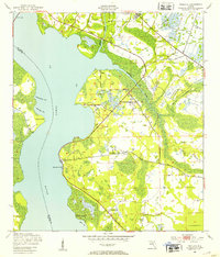
1949 · Picolata
USGS Topo · 1:24,000
1949 · Bostwick
USGS Topo · 1:62,500