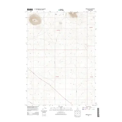
2013 Map of Middle Butte
USGS Topo · Published 2013About this map
Middle Butte dominates the northwestern landscape of this Bingham County terrain, rising sharply above the surrounding plain. Along with Twin Buttes and East Butte, these volcanic landmarks serve as primary navigational anchors for the region. The map captures a largely open landscape organized by the Public Land Survey System, with township and range lines like t2n r32e and t1n r32e defining the vast, undeveloped sections.
Find a feature on this map
12 named features on this map. Tap any name to fly to it.
Don’t see what you’re looking for? This feature index may not catch every label — zoom into the map to look around manually.
Map Details
Editions of this 2013 Middle Butte Map
This is the sole edition of this map. No revisions or reprints were ever made.
Other maps of this area

1955 · Idaho Falls
USGS Topo · 1:250,000

1958 · Idaho Falls
USGS Topo · 1:250,000

1973 · Olsen
USGS Topo · 1:24,000

1973 · Middle Butte
USGS Topo · 1:24,000

1973 · Taber
USGS Topo · 1:24,000

1973 · Atomic City
USGS Topo · 1:24,000

1973 · Lava Lake Reservoir
USGS Topo · 1:24,000

1973 · Circular Butte 3 SE
USGS Topo · 1:24,000

1973 · Little Butte SW
USGS Topo · 1:24,000

1973 · Little Butte
USGS Topo · 1:24,000