
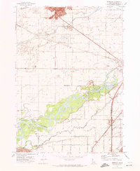
1973 Map of Olsen
USGS Topo · Published 1976About this map
Settlements like Olsen and Havens anchor this agricultural landscape in Bingham County during the early 1970s. The region is defined by a grid of field lines and section boundaries, including the Base Line, where irrigation and water access are critical to local industry. A significant number of wells are scattered throughout the quadrangle, highlighting the reliance on groundwater for the surrounding farmstead operations.
Find a feature on this map
18 named features on this map. Tap any name to fly to it.
Don’t see what you’re looking for? This feature index may not catch every label — zoom into the map to look around manually.
Map Details
Editions of this 1973 Olsen Map
This is the sole edition of this map. No revisions or reprints were ever made.
Other maps of this area

1940 · Blackfoot
USGS Topo · 1:62,500

1943 · Blackfoot
USGS Topo · 1:62,500

1955 · Springfield NW
USGS Topo · 1:24,000

1955 · Baldy Knoll
USGS Topo · 1:24,000

1955 · Rockford
USGS Topo · 1:24,000

1955 · Idaho Falls
USGS Topo · 1:250,000

1958 · Idaho Falls
USGS Topo · 1:250,000
1971 · Moreland
USGS Topo · 1:24,000

1973 · Middle Butte
USGS Topo · 1:24,000

1973 · Taber
USGS Topo · 1:24,000