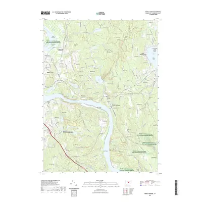
2021 Map of Middle Haddam
USGS Topo · Published 2021About this map
Middletown and Portland anchor this section of the Lower Connecticut River Valley, where the Connecticut River carves a deep path through the highlands. The river landscape is dotted with unique features like Gildersleeve Island, Dart Island, and the low-lying Wangunk Meadows. The area’s civic development is visible in the numerous cemeteries that mark its historical neighborhoods, including Union Hill Cem, Saint Patricks Cem, and the Maromas Cem near the river’s bend. To the west, Middlesex Community College overlooks the city, while the massive Asylum Reservoir Number 1 and its sister basins reflect the infrastructure needed for a growing 20th-century population. The eastern hills are dominated by Pocotopaug Lake and the Bald Hill Range, contrasting the urban density of the riverbank with significant natural relief. Transport and industry are represented by the path of the Valley RR, which follows the western shore past Scovill Rock.
Find a feature on this map
214 named features on this map. Tap any name to fly to it.
Don’t see what you’re looking for? This feature index may not catch every label — zoom into the map to look around manually.
Map Details
Editions of this 2021 Middle Haddam Map
This is the sole edition of this map. No revisions or reprints were ever made.
Other maps of this area

1892 · Gilead
USGS Topo · 1:62,500

1893 · Guilford
USGS Topo · 1:62,500

1893 · Middletown
USGS Topo · 1:62,500

1893 · Saybrook
USGS Topo · 1:62,500

1906 · Farmington
USGS Topo · 1:125,000

1928 · Cromwell
USGS Topo · 1:24,000

1928 · Glastonbury
USGS Topo · 1:24,000

1943 · Durham
USGS Topo · 1:25,000

1944 · Hartford South
USGS Topo · 1:31,680

1944 · Marlboro
USGS Topo · 1:31,680