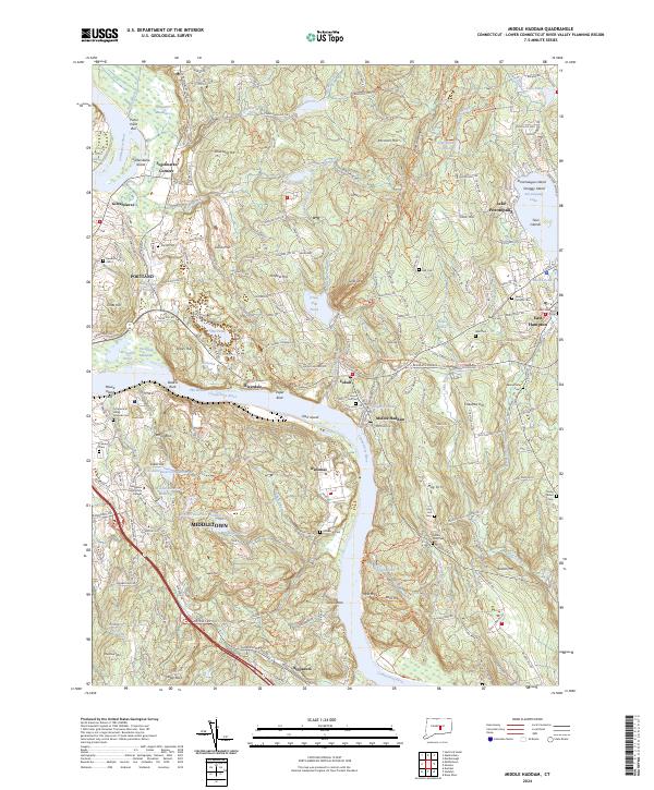
2024 Map of Middle Haddam
USGS Topo · Published 2024About this map
The Connecticut River defines the landscape of this region, winding past historical riverfront settlements like Middle Haddam, Portland, and Maromas. This 2024 survey documents a complex network of recreational and historic paths, including the Airline Trl and the New England National Scenic Trl, which navigate the elevation changes of Strickland Hill and Penfield Hill. The map highlights significant local landmarks such as the Connecticut Valley Hospital and Middlesex Community College in Middletown, alongside numerous parish burial grounds like Saint Patricks Cem and Union Hill Cem. Inland, Lake Pocotopaug serves as a major focal point in the east, while the Silvio O. Conte National Fish and Wildlife Refuge preserves the ecological character of the riverbanks and meadows. The alignment of ancient turnpikes, like the Old Marlborough Tpke, alongside modern infrastructure illustrates the long-standing importance of this corridor as a transit point between the river and the surrounding Connecticut hills.
Find a feature on this map
114 named features on this map. Tap any name to fly to it.
Don’t see what you’re looking for? This feature index may not catch every label — zoom into the map to look around manually.
Map Details
Editions of this 2024 Middle Haddam Map
This is the sole edition of this map. No revisions or reprints were ever made.
Other maps of this area

1892 · Gilead
USGS Topo · 1:62,500

1893 · Guilford
USGS Topo · 1:62,500

1893 · Middletown
USGS Topo · 1:62,500

1893 · Saybrook
USGS Topo · 1:62,500

1906 · Farmington
USGS Topo · 1:125,000

1928 · Cromwell
USGS Topo · 1:24,000

1928 · Glastonbury
USGS Topo · 1:24,000

1943 · Durham
USGS Topo · 1:25,000

1944 · Hartford South
USGS Topo · 1:31,680

1944 · Marlboro
USGS Topo · 1:31,680