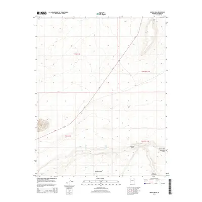
2014 Map of Middle Mesa
USGS Topo · Published 2014About this map
Middle Mesa rises prominently above the high desert floor of Coconino County, defining a landscape shaped by seasonal water and geological erosion. The map records a series of deep drainage systems, including the notable Coal Mine Canyon and the winding course of Moenkopi Wash to the south. Life in this arid environment centers on rare water sources like Lechee Da Kaid Spring and the ephemeral Greasewood Lake. Transportation is dominated by the diagonal sweep of Us-160, which cuts across the township lines to connect these remote landforms. From the heights of the Moenkopi Plateau to the carved depths of Ha Ho No Geh Canyon, the terrain illustrates the transition between vast sandstone mesas and the intricate canyon systems that feed into the larger regional basins.
Find a feature on this map
14 named features on this map. Tap any name to fly to it.
Don’t see what you’re looking for? This feature index may not catch every label — zoom into the map to look around manually.
Map Details
Editions of this 2014 Middle Mesa Map
This is the sole edition of this map. No revisions or reprints were ever made.
Other maps of this area

1883 · Marsh Pass
USGS Topo · 1:250,000

1886 · Echo Cliffs
USGS Topo · 1:250,000

1891 · Echo Cliffs
USGS Topo · 1:250,000

1892 · Marsh Pass
USGS Topo · 1:250,000

1956 · Marble Canyon
USGS Topo · 1:250,000

1959 · Marble Canyon
USGS Topo · 1:250,000

1961 · Marble Canyon
USGS Topo · 1:250,000
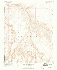
1967 · Bat Canyon
USGS Topo · 1:24,000
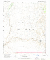
1967 · Begashibito Canyon
USGS Topo · 1:24,000
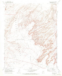
1969 · Tuba City SE
USGS Topo · 1:24,000