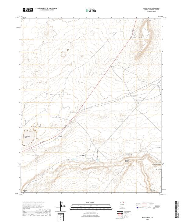
2021 Map of Middle Mesa
USGS Topo · Published 2021About this map
Moenkopi Plateau and the surrounding high desert terrain dominate this recent survey of Coconino County. The landscape is defined by deep geological incisions, most notably the winding paths of Coal Mine Canyon, Begashibito Canyon, and Ha Ho No Geh Canyon which converge toward the Moenkopi Wash in the southeast. These dramatic landforms provide a stark contrast to the flatter expanse of Mid Mesa to the north.
Find a feature on this map
15 named features on this map. Tap any name to fly to it.
Don’t see what you’re looking for? This feature index may not catch every label — zoom into the map to look around manually.
Map Details
Editions of this 2021 Middle Mesa Map
This is the sole edition of this map. No revisions or reprints were ever made.
Other maps of this area

1883 · Marsh Pass
USGS Topo · 1:250,000

1886 · Echo Cliffs
USGS Topo · 1:250,000

1891 · Echo Cliffs
USGS Topo · 1:250,000

1892 · Marsh Pass
USGS Topo · 1:250,000

1956 · Marble Canyon
USGS Topo · 1:250,000

1959 · Marble Canyon
USGS Topo · 1:250,000

1961 · Marble Canyon
USGS Topo · 1:250,000
1967 · Bat Canyon
USGS Topo · 1:24,000
1967 · Begashibito Canyon
USGS Topo · 1:24,000
1969 · Tuba City SE
USGS Topo · 1:24,000