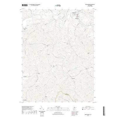
2019 Map of Middlebourne
USGS Topo · Published 2019About this map
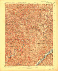
Middlebourne serves as the focal point of this Tyler County survey, situated along the winding banks of Middle Island Creek. The town's grid, including Main St and Stealey St, transition into a network of hollows and ridges defined by rural outposts like Bridgeway and Locke. The terrain is deeply incised by numerous waterways such as Sancho Creek and Buffalo Run, which historically dictated the placement of early roads and small homesteads.
Find a feature on this map
81 named features on this map. Tap any name to fly to it.
Don’t see what you’re looking for? This feature index may not catch every label — zoom into the map to look around manually.
Map Details
Editions of this 2019 Middlebourne Map
This is the sole edition of this map. No revisions or reprints were ever made.
Other maps of this area

1905 · West Union
USGS Topo · 1:62,500
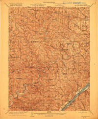
1905 · New Matamoras
USGS Topo · 1:62,500

1906 · Saint Marys
USGS Topo · 1:62,500
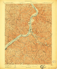
1906 · New Martinsville
USGS Topo · 1:62,500
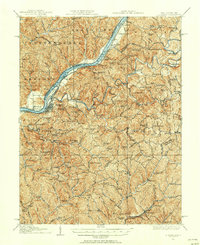
1924 · St Marys
USGS Topo · 1:62,500
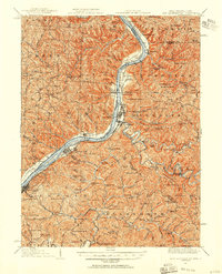
1924 · New Martinsville
USGS Topo · 1:62,500
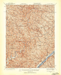
1924 · New Matamoras
USGS Topo · 1:62,500
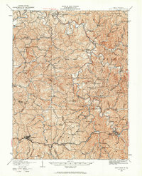
1924 · West Union
USGS Topo · 1:62,500
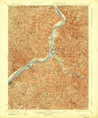
1926 · New Martinsville
USGS Topo · 1:62,500
1926 · New Matamoras
USGS Topo · 1:62,500